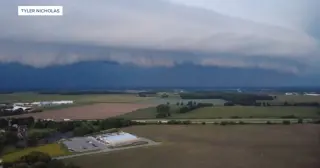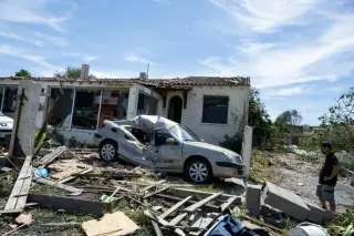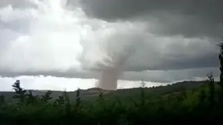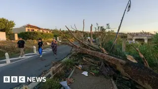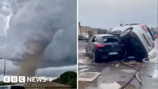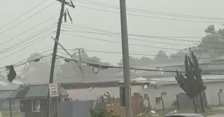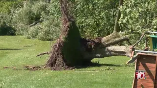
Forecasters warn a severe weather outbreak continues into Monday with a continued threat of intense tornadoes across Nebraska, Kansas, and Iowa, potentially accompanied by damaging winds, large hail, and heavy rainfall; residents should stay alert for warnings and have a shelter plan ready.
Fourteen tornadoes ripped through central and western Mississippi, damaging about 400 homes and injuring at least 17 people, with Lamar County hit hardest (275 homes damaged, four injured) and Lincoln County reporting 200+ homes damaged and 12 injuries in Wash Trailer Park. MEMA says 15,643 power outages statewide and no deaths yet; several schools closed as Cajun Navy aid is deployed. The storms have weakened but moved east toward the Florida Panhandle and Georgia, with more rain forecast through Friday.
A storm chaser heard a faint meow from the tornado rubble in a Mississippi trailer park, guiding crews to a kitten trapped inside a wall and prompting a dramatic rescue.
All of Central Florida is under a tornado watch until 6 p.m. as a cold front triggers a line of storms bringing heavy rain, frequent lightning, and gusts up to 50 mph. The main risk is damaging winds, with a small chance of tornadoes or hail; a wind advisory is in effect 10 a.m.–6 p.m., and a Red Flag Warning signals high fire danger. Cooler air arrives Sunday as conditions dry out and trend cooler.
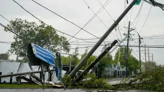
A major storm hit Mineral Wells, Texas, causing widespread damage that authorities say may have been from an EF-2 or EF-3 tornado. Aerial images show destroyed homes and businesses and warped trees; at least two people were hospitalized. The city opened a shelter at Mineral Wells High School and is seeking donations at Center of Life as the National Weather Service assesses the damage.
North Texas remains under a weather alert as cleanup begins from Mineral Wells tornado damage; additional disturbances are expected to bring more rain and the potential for flooding through the workweek, with 1–3 inches of rain likely by Friday night and cooler, unsettled conditions into the weekend. Shelters are assisting displaced residents, and two fatalities from weekend Texas tornadoes in Parker and Wise counties have been identified.
Severe thunderstorms swept through Mineral Wells, Texas, injuring at least two people, damaging homes and prompting a local state of disaster and a curfew as responders assess hazards and assist affected residents.
A tornado ripped through Mineral Wells, Texas, on the sixth day of a multi-state severe storm outbreak, injuring several people, damaging homes and an industrial area, and prompting a curfew as officials assess the damage. Two people were hospitalized and others received on-site care; no deaths were reported. The local high school is serving as a reunification center with Red Cross support while responders survey the tornado’s strength.
A tornado tore through Mineral Wells, Texas, around 5 p.m. Tuesday, as part of a multi-day severe weather outbreak that has battered the South with hail and damaging winds. At least two people were hospitalized and several injuries reported as homes and an industrial area were damaged; there were no known deaths or active missing persons at the time. The town implemented a curfew and the high school served as a reunification center with aid from the Red Cross as the broader region remains under multiple severe-weather warnings, with large hail reported in nearby areas and additional tornado watches in neighboring states.
A confirmed tornado near Mineral Wells, Texas, caused widespread damage and injuries as severe storms swept North Texas; two people were transported for injuries, several others were treated on scene, a 10 p.m. curfew was imposed, and Red Cross assistance was provided at Mineral Wells High School.
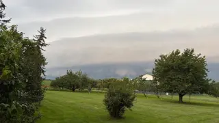
A morning cluster of storms across West-Central and Northwest Texas is shifting north of the Red River, potentially bringing very large hail, damaging winds, and a few tornadoes. The highest risk appears from North Texas into East Texas, with development likely 1–3 PM along a boundary near Texoma, then moving southeast toward the Dallas–Fort Worth area. A cluster could persist tonight, bringing heavy rainfall and localized flooding. The site will offer live Texas storm coverage and an interactive radar to track the storms.
A powerful tornado-producing thunderstorm tore through northern Texas, killing at least two people and displacing about 20 families, with extensive damage in Runaway Bay and Springtown. An EF-2 tornado hit Runaway Bay with up to 135 mph winds, while an EF-1 tornado struck Springtown, as widespread power outages complicated rescue efforts. The system moved from near Wichita Falls toward Fort Worth late Saturday night, and responders worked to clear debris and reach affected residents amid downed utilities and blocked roads.
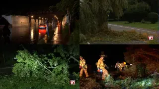
Tornadoes swept northern Texas, killing at least two people, destroying homes and damaging power infrastructure in Springtown, and forcing families to evacuate and seek shelter as crews work to restore services.
A significant severe weather setup is likely this evening across North Texas, eastern Texoma, and Northeast Texas, with a Level 4 risk near the Red River into Northeast Texas and a Level 3 risk farther north into the DFW area. The main threats are very large hail (4-5 inches), damaging winds (70-80 mph), and a tornado risk, especially near the Red River. Storms could form around 4-5 PM west of the Metroplex and may intensify quickly, with the tornado threat increasing around 6-7 PM and another batch moving southeast from southern Oklahoma into Northeast Texas around 7-9 PM. Most areas may stay dry, but any storms that do form could be dangerous quickly, so stay alert, have multiple warning sources, and seek shelter in a sturdy interior room if warnings are issued. Live coverage and radar tracking are planned by Texas Storm Chasers.
An EF3 tornado ripped through Enid, Oklahoma, damaging the Gray Ridge neighborhood and prompting emergency response; 10–15 people were injured with no fatalities reported. Vance Air Force Base will remain closed while utilities are restored, and first responders continue secondary searches. The region faced a broader severe weather outbreak with multiple tornadoes and more storms expected over the weekend.