
Weekend Weather Update: Warmth and Storm Chances Ahead.
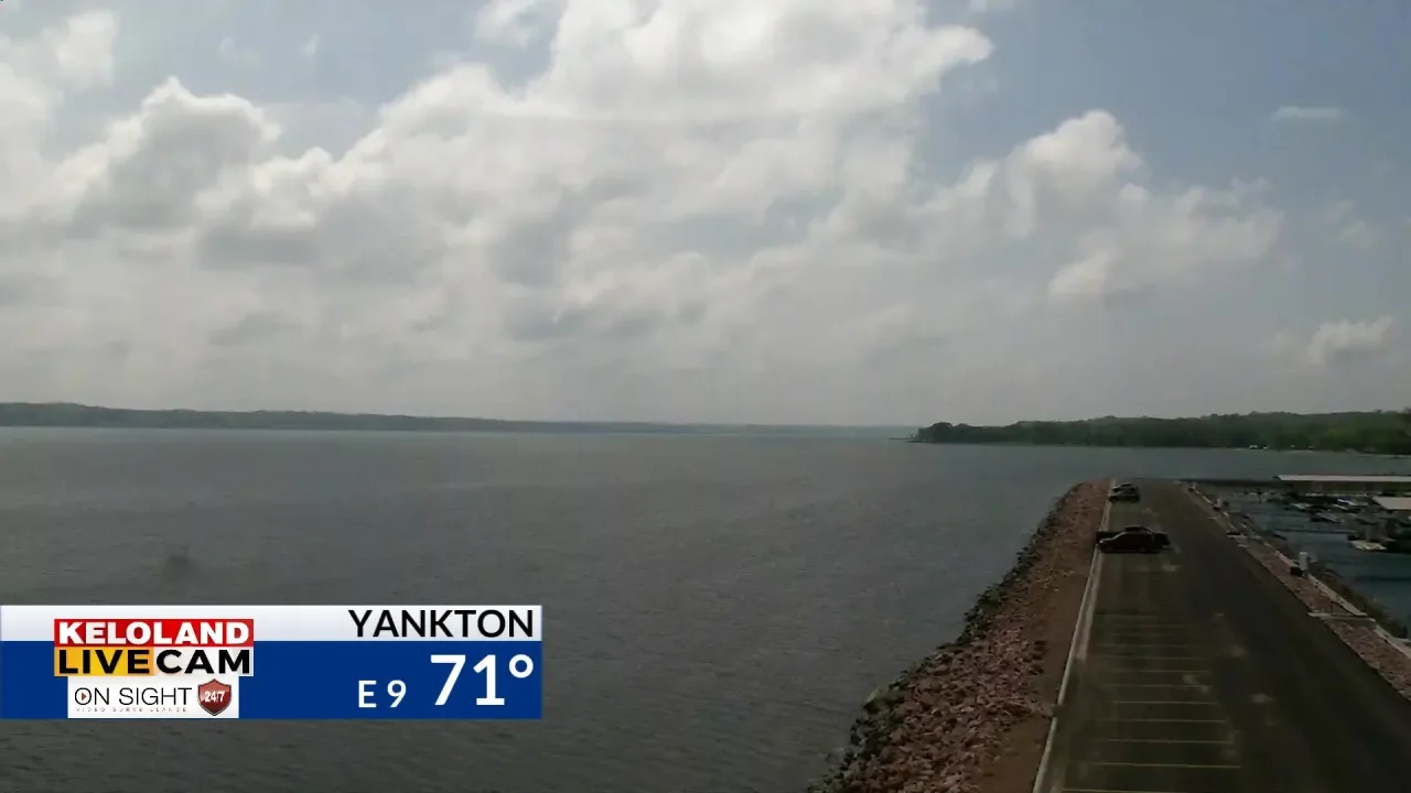
Southern KELOLAND is in a Tornado Watch this evening as a line of storms in Nebraska is heading north and northwest, producing large hail, strong winds, and possible tornadoes. Heavy rainfall and flash flooding are also expected. Western South Dakota will see lows in the upper 40s, while central and eastern KELOLAND will see lows in the 50s and low 60s. Minnesota around Marshall is under a Flood Watch for Saturday due to potential heavy rain. Rain and thunderstorm chances will continue through the weekend with high temperatures in the 60s and low 70s. Skies will be mostly dry for the next 7 days, with a chance of rain and thunder showers on Wednesday and Thursday.
- Severe weather this evening and tonight: Storm Center PM Update — Friday, May 12 KELOLAND.com
- May 12, 5 PM Weather Forecast WLFITV
- Warmth holding, shower and storm chances rise over the weekend FOX 59 Indianapolis
- Unseasonably warm temperatures, storm chances for Mother's Day weekend | May 12, 2023 WTHR
- ABC 33/40 evening weather forecast - Thursday, May 11 ABC 33/40
Reading Insights
0
12
1 min
vs 2 min read
60%
293 → 116 words
Want the full story? Read the original article
Read on KELOLAND.com