
Thunderquakes Reveal Hidden Ground Hazards via Fiber-Optic Seismology
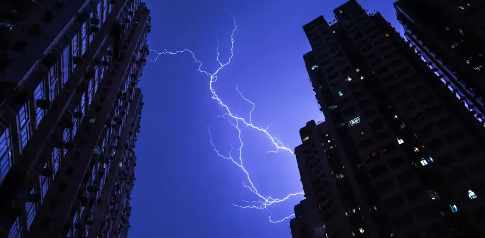
Researchers at Penn State have demonstrated that thunderstorms can be used to map the Earth's subsurface without traditional drilling or vibration sources. By utilizing existing fiber-optic cables as distributed acoustic sensors, the team captured 458 'thunderquakes' over two years. This method, known as urban seismology, allows for the detection of shallow geological features, such as sinkholes and groundwater movement, up to 100 meters deep. The technique offers a cost-effective alternative to expensive seismic surveys, leveraging natural atmospheric energy and pre-installed infrastructure to monitor ground stability in karst regions.
Key points
- Lightning creates shock waves that convert into seismic 'thunderquakes' when they reach the ground.
- The study used a 4-kilometer fiber-optic cable in State College, Pennsylvania, acting as over 2,100 vibration sensors.
- Data from 458 thunderquakes over two years was analyzed to map subsurface structures down to 100 meters.
- The method identified four 'weak zones' corresponding to fractured rock or water accumulation, some linked to active ground subsidence.
- This approach avoids the need for truck-mounted vibration sources or temporary sensor arrays, utilizing existing telecom infrastructure.
Background
Previous seismic imaging typically relied on controlled explosions or truck-mounted vibration sources, which are costly and logistically difficult to deploy over large areas. While fiber-optic cables have been recognized as potential seismometers, their application for analyzing natural atmospheric shock waves like thunder was not previously established. This study builds on the concept of distributed acoustic sensing, where light pulses in fiber cables detect minute vibrations, extending the utility of urban infrastructure for geological monitoring.
How outlets are covering it
The Conversation emphasizes the potential for continuous monitoring of shallow subsurface hazards, such as sinkholes and contamination, using existing infrastructure. Science News highlights the practical advantage of using natural thunderstorms as a free, widespread seismic source, contrasting it with expensive artificial methods. Ars Technica focuses on the technical challenges, noting that thunderquakes are complex due to the 'bead-like' structure of lightning plasma and varying ground conditions. Ars Technica also details the modeling approximations required, such as treating the atmosphere as a homogeneous layer, but confirms the model's accuracy through validation with radar and boreholes. All sources agree on the feasibility of the method for mapping karst landscapes, which cover 20% of the world's land.
Why it matters
This technique provides a low-cost, scalable method for assessing ground stability in urban and suburban areas. By identifying weak zones in karst regions, which affect nearly a quarter of the global population, cities can improve construction planning and mitigate risks from sinkholes and groundwater contamination. The ability to use existing fiber-optic networks for continuous seismic monitoring could revolutionize urban geology and infrastructure safety.
What to watch
The researchers plan to expand the use of this method to other natural seismic sources, such as sonic booms and volcanic eruptions. They also suggest potential applications on other celestial bodies, such as Titan, where atmospheric disturbances might provide seismic data in the absence of tectonic activity. Further validation and broader deployment of fiber-optic seismic networks in karst-prone areas are expected to follow.
- Using thunderquakes to X-ray Earth – a new study shows urban seismology in action The Conversation
- ‘Thunderquakes’ do more than shake the ground — they map it Science News
- Thunder + fiber-optic cabling used for seismic imaging Ars Technica
- Thunderquakes enable seismic imaging of Earth's shallow subsurface Phys.org
- Thunderstorms offer scientists a new way to see underground Earth.com
Want the full story? Read the original reporting
Read on The Conversation