
Cloud-Piercing NISAR Radar Maps Pacific Northwest
TL;DR
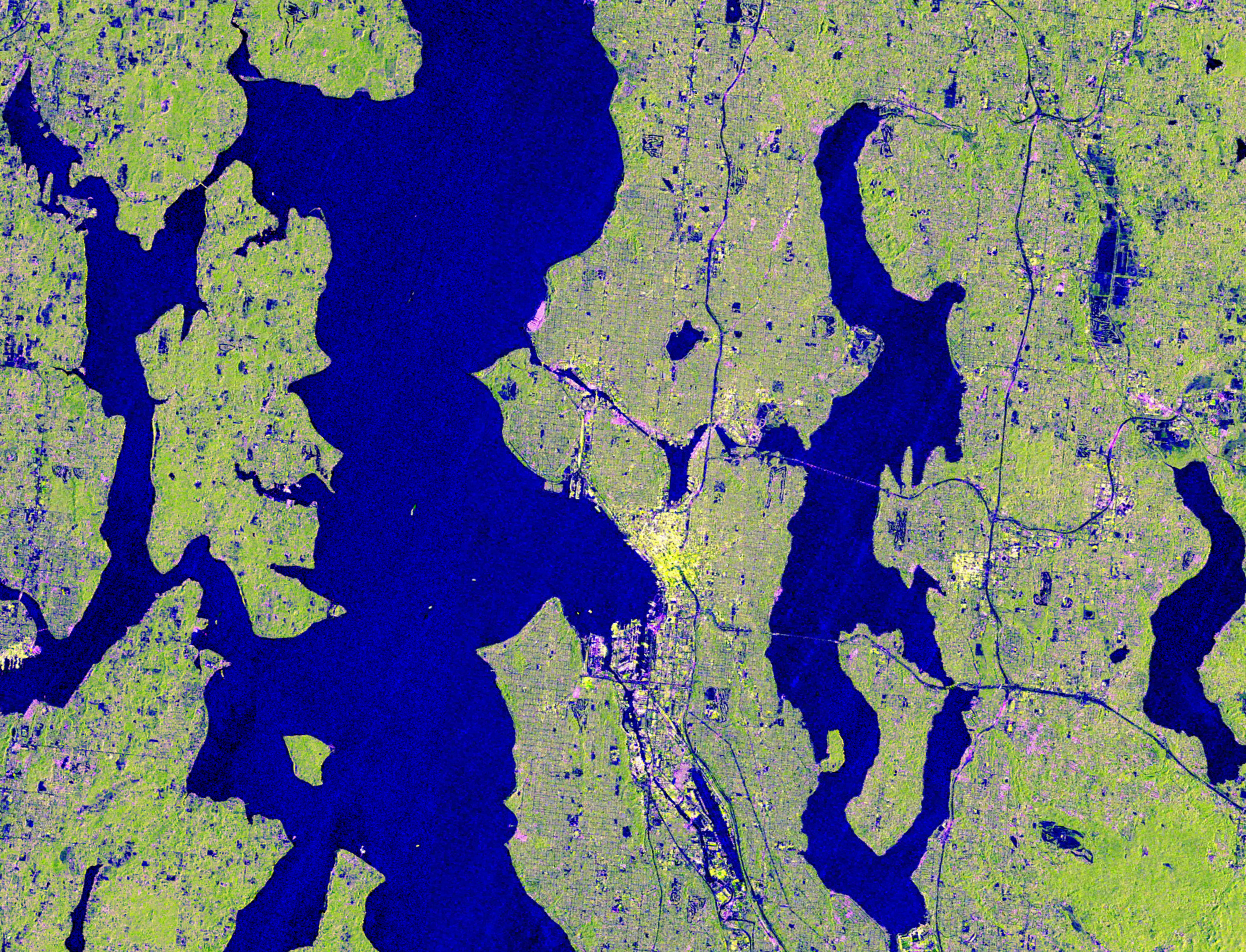
NASA-ISRO’s NISAR satellite captured cloud-covered imagery of the Pacific Northwest on Nov. 10, 2025 using L-band radar to see through clouds, highlighting Seattle, Portland, Mount Rainier, and Mount Saint Helens. With dual SAR instruments and a large 39-foot antenna, NISAR revisits areas roughly every 12 days to monitor changes in forests, wetlands, urban areas, and infrastructure, and to detect subtle ground movements associated with natural hazards such as volcanoes, earthquakes, landslides, and floods. The data aid resource management, hazard monitoring, and environmental decision‑making.
NASA-ISRO Satellite Captures Pacific Northwest Through Clouds NASA Jet Propulsion Laboratory (JPL) (.gov)View Full Coverage on Google News
Want the full story? Read the original reporting
Read on NASA Jet Propulsion Laboratory (JPL) (.gov)