Tag

Nasa Isro

All articles tagged with #nasa isro

NASA-ISRO Satellite Captures First-Ever Time-Lapse of Krasheninnikov’s Decade-Long Lava Flow

NASA-ISRO Satellite Captures First-Ever Time-Lapse of Krasheninnikov’s Decade-Long Lava Flow

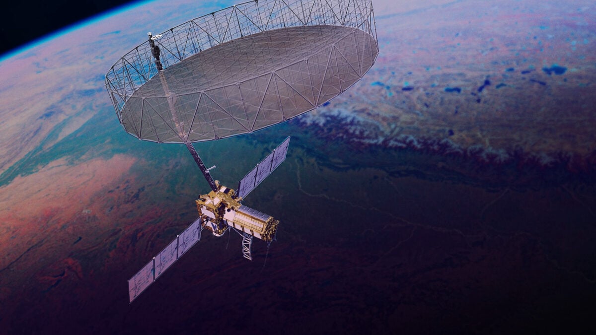
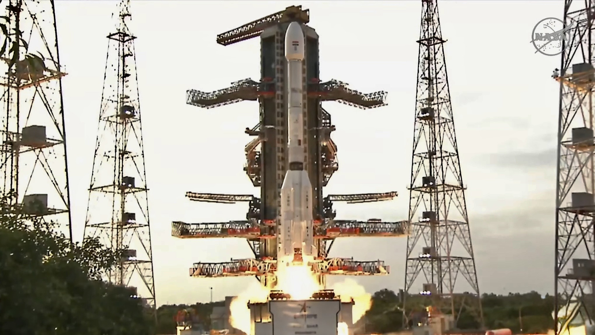
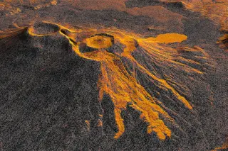
The NASA-ISRO Synthetic Aperture Radar (NISAR) satellite has produced a time-lapse video documenting the ongoing lava flow from Krasheninnikov volcano in Russia’s Kamchatka Peninsula. The eruption, triggered by an 8.8-magnitude earthquake on July 30, 2025, marked the first activity for the twin volcanoes in nearly 500 years. NISAR, launched on the same date as the earthquake, began monitoring the site in December 2025, capturing 17 high-resolution images through August 2026. The footage reveals lava filling an inner caldera, overflowing into a wider crater, and spreading eastward in a fan shape. This demonstrates NISAR’s capability to monitor remote natural hazards with high precision, offering a new tool for global volcanic surveillance.

Hummingbird-like glacial portrait uncovered by NASA-ISRO radar
science2 months ago

Hummingbird-like glacial portrait uncovered by NASA-ISRO radar

A NASA-ISRO radar image of Antarctica shows a hummingbird-like silhouette: the mountaintop forms the body and deep ice crevasses create the plumage. Using NISAR’s dual-wavelength radar, scientists can see beneath snow and map ice movement, illustrating how the mission captures surface and subsurface ice features. The release comes on the one-year anniversary of NISAR’s launch, highlighting its ability to monitor glaciers, landslides, urban areas and more.

Cloud-Piercing NISAR Radar Maps Pacific Northwest
science6 months ago

Cloud-Piercing NISAR Radar Maps Pacific Northwest

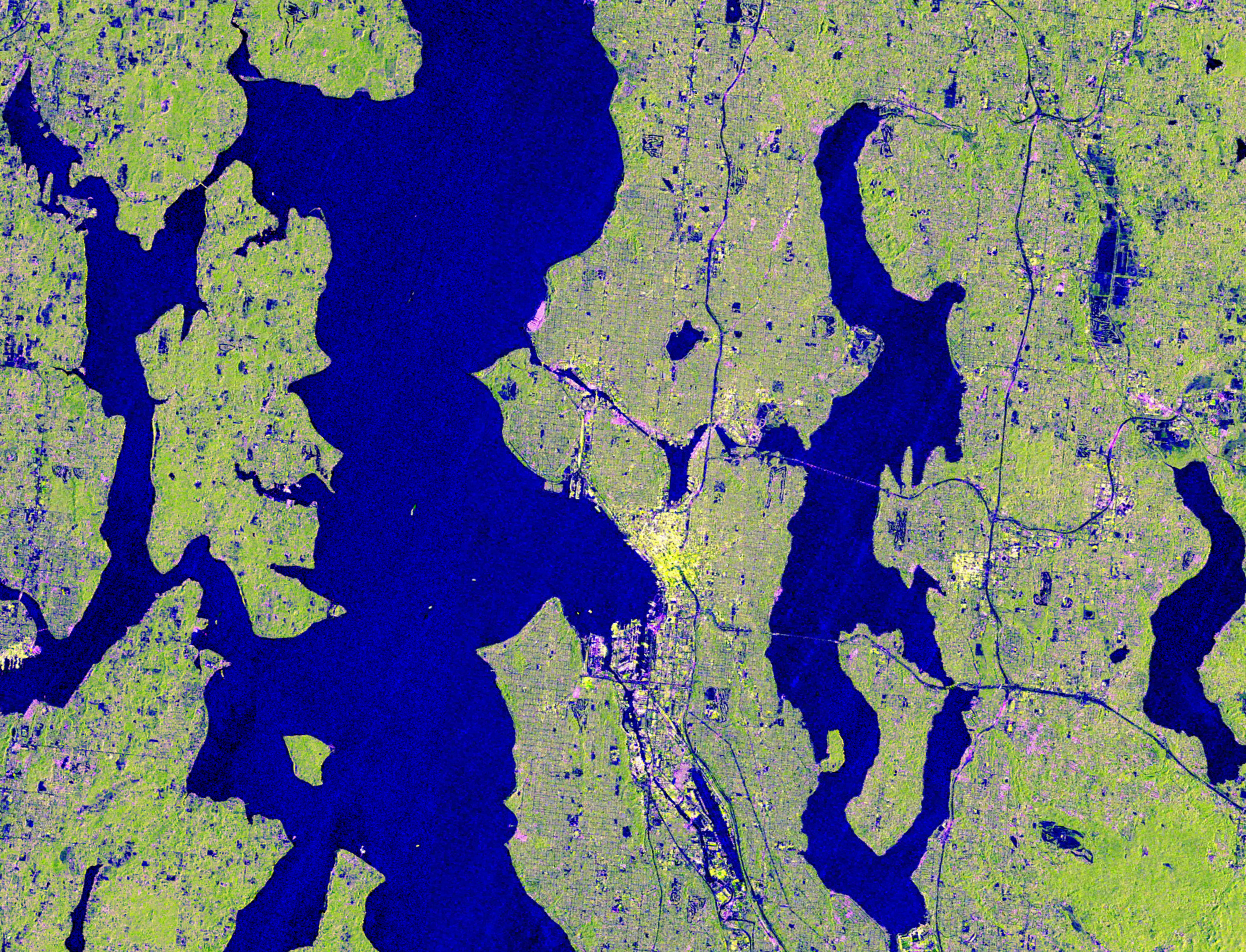
NASA-ISRO’s NISAR satellite captured cloud-covered imagery of the Pacific Northwest on Nov. 10, 2025 using L-band radar to see through clouds, highlighting Seattle, Portland, Mount Rainier, and Mount Saint Helens. With dual SAR instruments and a large 39-foot antenna, NISAR revisits areas roughly every 12 days to monitor changes in forests, wetlands, urban areas, and infrastructure, and to detect subtle ground movements associated with natural hazards such as volcanoes, earthquakes, landslides, and floods. The data aid resource management, hazard monitoring, and environmental decision‑making.