
NASA's Self-Learning AI Maps Harmful Algae from Space
TL;DR
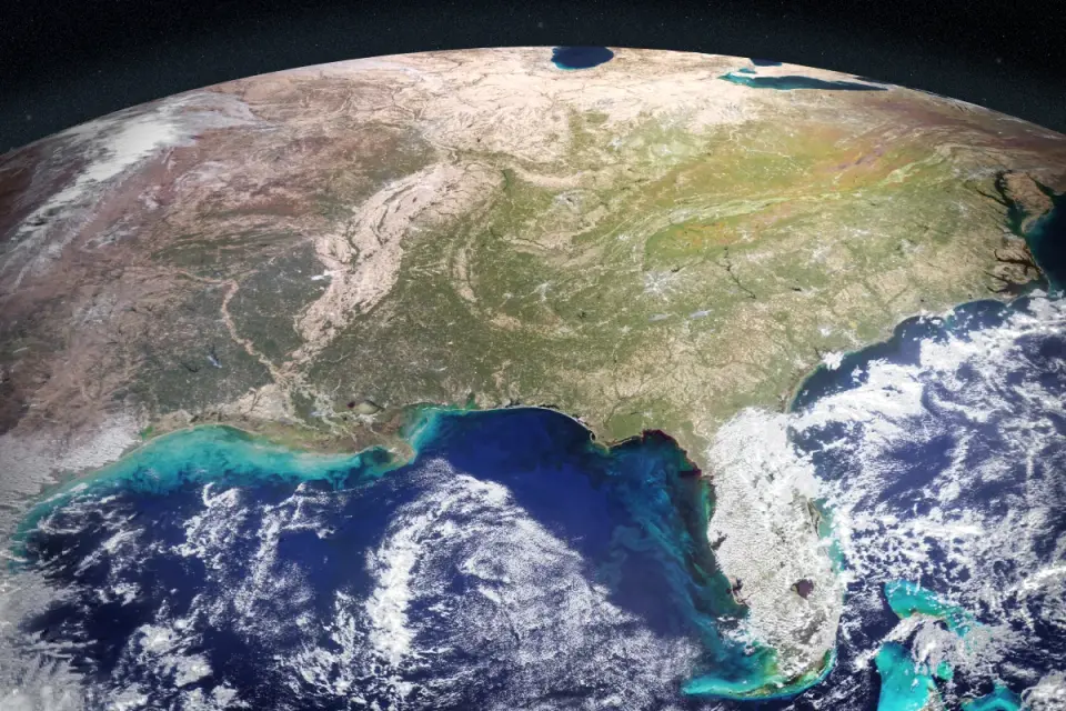
NASA researchers developed a self-supervised AI that fuses data from multiple satellites (including PACE and TROPOMI) to detect and map harmful algal blooms such as Karenia brevis and Pseudo-nitzschia, across Gulf Coast and West Coast waters. The tool helps guide where to sample and warn communities, with plans to expand to additional coastlines and lakes and to make the technology accessible to decision-makers.
- NASA-developed AI Could Help Track Harmful Algae NASA (.gov)
- NASA develops AI system to track harmful algal blooms using satellite data Digital Watch Observatory
Want the full story? Read the original reporting
Read on NASA (.gov)