
SWOT Satellite Reveals Global River Flow From Space
TL;DR
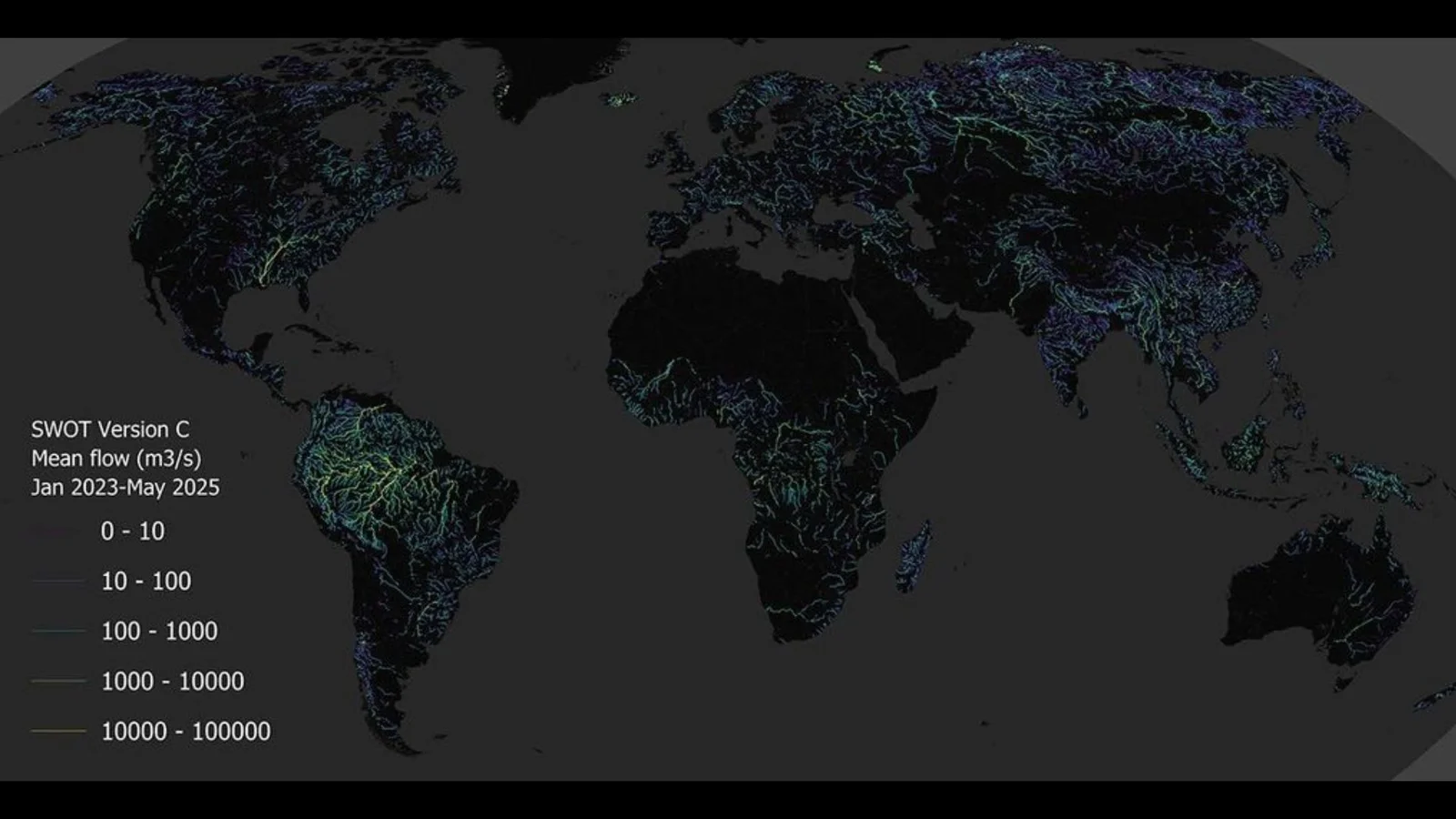
NASA and CNES’s SWOT mission has produced the first global, space-based estimate of river discharge and suspended sediment using the KaRIn radar. The global map, derived from SWOT data, highlights river networks around the world (rivers wider than ~50 meters) and fills gaps left by ground sensors, aiding flood forecasting, water management, and understanding how rivers transport nutrients and pollutants.
Want the full story? Read the original reporting
Read on Space