
UN General Assembly adopts Equal Earth projection to correct historical map distortions
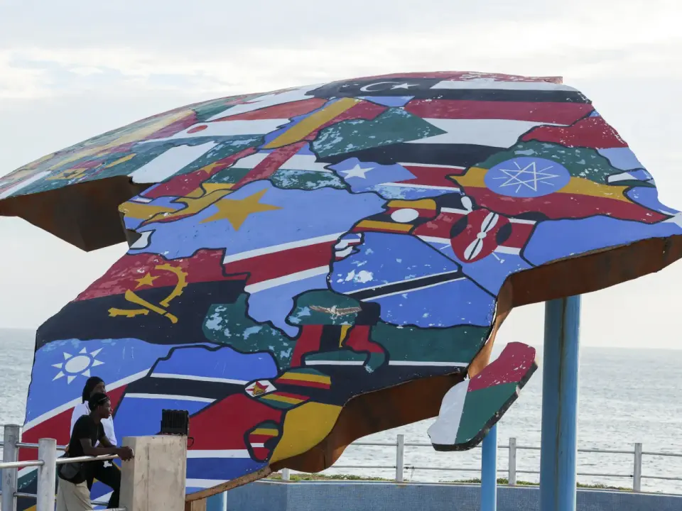
The UN General Assembly voted 164-1 to adopt the Equal Earth projection, replacing the Mercator map in official contexts to accurately reflect Africa's size. The non-binding resolution, led by Togo and the African Union, aims to correct colonial-era visual biases that minimized the continent for centuries.
Key points
- The 'Correct the Map' resolution passed with 164 votes in favor, one against (United States), and six abstentions.
- The Mercator projection, developed in the 16th century, distorts land sizes by expanding areas near the poles, making Africa appear similar in size to Greenland despite being 14 times larger.
- The Equal Earth projection, created in 2018, was adopted by the African Union in February 2026 and is now recommended for general use, though Mercator remains suitable for navigation.
- France announced it would abandon the Mercator map in favor of area-faithful representations, while Togo plans to update school materials by the end of 2026.
- The resolution is non-binding but aims to influence education, media, and digital platforms to adopt more accurate geographic representations.
Background
This vote follows months of diplomatic campaigning by African nations to address perceived colonial biases in global cartography. Previous UN discussions in early 2026 highlighted the need to update educational materials and digital platforms. The move also coincides with broader efforts to correct historical inaccuracies in global representations, including recent controversies over mislabeled maps in international health conferences.
How outlets are covering it
Al Jazeera and BBC both report the vote as a significant symbolic victory for African representation, emphasizing the correction of a 450-year-old visual injustice. Al Jazeera highlights the US opposition as an 'ideological agenda' and notes the non-binding nature of the resolution. BBC focuses on the technical explanation of why Mercator distorts sizes and the practical implications for schools and institutions. Both outlets agree on the vote count and the involvement of Togo and the African Union, but Al Jazeera places more emphasis on the political rhetoric of 'fairness' while BBC stresses the cartographic science behind the Equal Earth projection.
Why it matters
The adoption of the Equal Earth projection challenges long-standing visual norms that have influenced global perceptions of power and development. By correcting the scale of Africa, the resolution aims to shift narratives in education and media, potentially affecting how resources and attention are allocated to the continent. It also sets a precedent for other regions to challenge cartographic biases that may minimize their significance.
What to watch
Togo and the African Union will push for the adoption of the Equal Earth projection in schools, international organizations, and digital platforms. France has already committed to switching its official maps. The US, the sole dissenting vote, is expected to maintain its position that the resolution is a distraction from more pressing global issues. Implementation will likely vary, with some institutions adopting the new projection while others continue using Mercator for navigation or traditional purposes.
- UN votes to adopt new world map that reflects Africa’s true size Al Jazeera
- Explanation of Vote Before the Vote for UNGA 80 Adoption on the Resolution to “Correct the Map” usun.usmission.gov
- How big is Africa really? Why the UN voted to change the world map Al Jazeera
- UN votes to adopt new world map to reflect Africa's true size BBC
- US only country to oppose UN resolution correcting Africa’s size on world maps The Hill
Want the full story? Read the original reporting
Read on Al Jazeera