
Severe Weather Threat Looms Over Weekend
TL;DR Summary
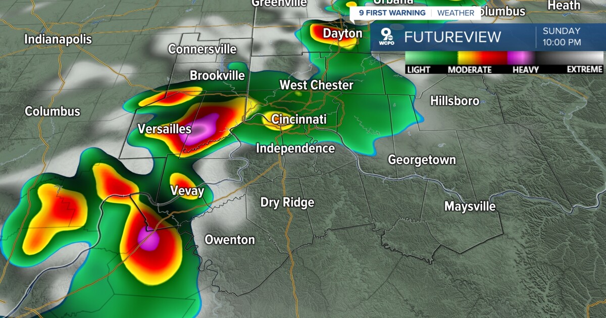
Sunday is a 9 First Warning Weather Alert Day for the Tri-State area due to the potential for strong and severe thunderstorms, including damaging winds up to 70 mph, hail as large as 2 inches, and a few isolated tornadoes. The timeline for the storms is expected to be between 6 p.m. and 11 p.m., with heavy rainfall and localized flooding possible. The main window for strong and severe storms will be between 6 p.m. and 11 p.m. The threat should end by midnight as the cold front moves through. Stay weather alert and check for updates throughout the day.
- What you need to know about Sunday's severe weather threat WCPO 9 Cincinnati
- FIRST ALERT ACTION DAY Tonight through Sunday evening because of severe storms, possible tornado threat KFVS
- Strong to severe storms possible Sunday WOODTV.com
- Saturday severe threat: Large hail and tornadoes possible in Minnesota Bring Me The News
- Stormy Sunday | Local News | local3news.com Local 3 News
Reading Insights
Total Reads
0
Unique Readers
10
Time Saved
6 min
vs 7 min read
Condensed
92%
1,203 → 100 words
Want the full story? Read the original article
Read on WCPO 9 Cincinnati