
New Map Traces Rome’s 190,000-Mile Road Network Centered on Constantinople
TL;DR Summary
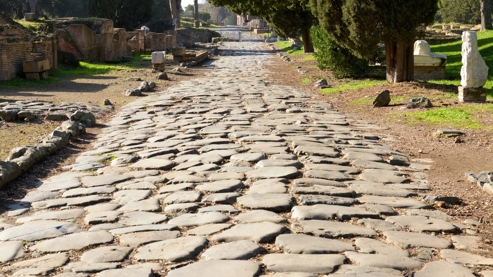
Researchers mapped the Roman Empire’s road network at its peak (2nd–4th centuries AD), totaling about 190,000 miles and showing that central hubs were in Constantinople rather than Rome; roads were built straight with a groma, followed terrain to navigate mountains, and included milestones and desert forts, enabling widespread movement of people, goods, and ideas for centuries after the empire’s height.
- Ancient Rome Built 190,000 Miles Of Roads And Researchers Just Traced Them All Jalopnik
- Why all roads don’t lead to Rome CNN
- Researchers Have Analyzed the Roman Empire’s 190,000-Mile Network of Roads. Turns Out, Not All of Them Led to Rome Smithsonian Magazine
- Network science reveals the structure and lasting impact of the Roman road system Nature
- Roman roads weren’t so straight after all New Scientist
Reading Insights
Total Reads
0
Unique Readers
5
Time Saved
4 min
vs 5 min read
Condensed
94%
932 → 60 words
Want the full story? Read the original article
Read on Jalopnik