
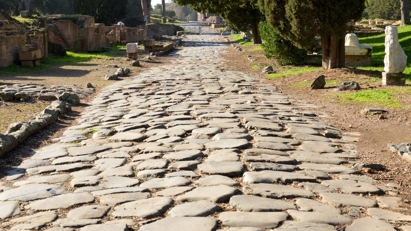
New Map Traces Rome’s 190,000-Mile Road Network Centered on Constantinople
Researchers mapped the Roman Empire’s road network at its peak (2nd–4th centuries AD), totaling about 190,000 miles and showing that central hubs were in Constantinople rather than Rome; roads were built straight with a groma, followed terrain to navigate mountains, and included milestones and desert forts, enabling widespread movement of people, goods, and ideas for centuries after the empire’s height.