
The potential impacts of El Niño on weather, hurricanes, and water quality.
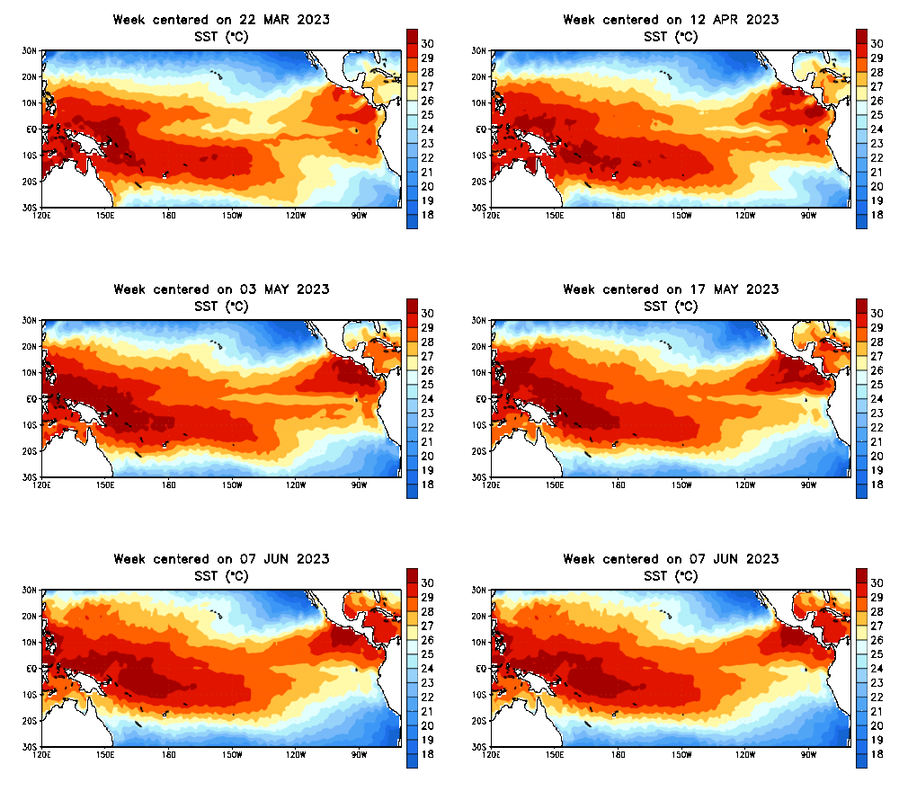
El Niño has returned with an expanding pool of warmer-than-normal water in the eastern tropical Pacific Ocean. The transition to an emerging El Niño initially favors a wetter pattern heading into early summer for areas recently experiencing moderate drought from the southern Plains to the Ohio Valley. Later in the year during the fall and winter, El Niño trends drier-than-normal in the Midwest, with above-normal rainfall in the Southern states. The return of El Niño likely means fewer strong Atlantic hurricanes due to increased westerly wind shear. NOAA forecasters are predicting a 56% chance of a strong El Niño developing and an 84% chance of at least a moderate event.
- What does El Niño 2023 mean for Ohio weather NBC4 WCMH-TV
- El Niño has started in the Pacific, but that doesn't guarantee another wet winter for Sacramento KCRA Sacramento
- Could rising ocean temperatures mean more hurricanes despite El Niño? | Tracking the Tropics WFLA News Channel 8
- El Niño could mean the hottest year on record, meteorologists warn KTLA Los Angeles
- Discussing the effects of El Niño on our water quality CBS News
Reading Insights
0
13
2 min
vs 3 min read
73%
412 → 110 words
Want the full story? Read the original article
Read on NBC4 WCMH-TV