
Hurricane Isaias lands near Destin, Florida, before weakening to Category 1
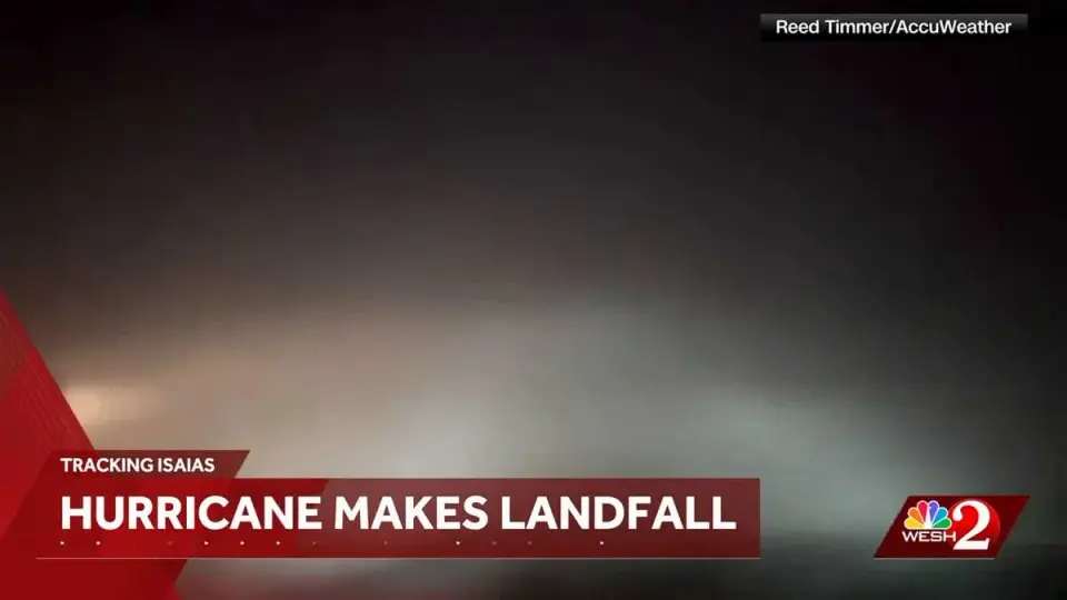
Hurricane Isaias made landfall near Destin, Florida, at 9:30 p.m. EDT on Friday, October 9, 2026. By 11:00 p.m., the storm had weakened to a Category 1 hurricane with maximum sustained winds near 90 mph. Radar data indicated winds of 105 to 110 mph hitting the coast just before landfall. The National Hurricane Center expects the system to move across Alabama and into the Tennessee Valley over the weekend, continuing to produce gusty winds and flash flooding even after it becomes post-tropical.
Key points
- Isaias made landfall near Destin, Florida, at 9:30 p.m. EDT on Friday, October 9, 2026.
- The storm was downgraded to a Category 1 hurricane by 11:00 p.m. with maximum sustained winds near 90 mph.
- Radar showed winds of 105 to 110 mph reaching the coast in Destin just before landfall.
- A 92 mph gust was recorded in Pensacola, and a 72 mph gust was recorded in Orange Beach, Alabama.
- The National Hurricane Center forecasts the storm to move across Alabama and into the Tennessee Valley on Saturday and Sunday.
- Flash flooding and dangerous hurricane conditions are spreading inland despite the weakening winds.
Background
Isaias became the first hurricane of the 2026 Atlantic season on October 6. Prior to landfall, Florida Governor Ron DeSantis declared a state of emergency for 25 counties, and Alabama Governor Kay Ivey declared an emergency for 40 counties on October 7. Forecasters had predicted the storm would reach Category 2 strength before landfall, with potential storm surge and tornado risks along the Gulf Coast.
How outlets are covering it
WESH reported on the immediate landfall details, including specific wind gusts recorded in Pensacola and Orange Beach, and the rapid downgrade to Category 1. WBMA, reporting earlier in the week, emphasized the pre-landfall strengthening of the storm and the specific threats to Central Alabama, including 40 to 50 mph gusts, flash flooding, and isolated tornadoes. While WESH focused on the post-landfall status, WBMA highlighted the broader inland impacts and the state of emergency declarations in Alabama.
Why it matters
The landfall of Hurricane Isaias marks the first hurricane of the 2026 Atlantic season and has caused significant impacts across the Gulf Coast. The storm's rapid weakening after landfall does not eliminate the threat of flash flooding and gusty winds, which are expected to continue inland through Saturday. Residents in Alabama and the Tennessee Valley remain at risk for severe weather, including potential tornadoes and power outages.
What to watch
The National Hurricane Center expects Isaias to continue moving across Alabama and into the Tennessee Valley on Saturday and Sunday. Although the storm is weakening, it is expected to produce gusty winds and flash flooding well inland. Authorities are urging residents to remain prepared for potential power outages and flooding, particularly in areas with poor drainage.
- Gov. DeSantis declares state of emergency for 25 Florida counties due to Hurricane Isaias WESH
- Isaias strengthens into the first hurricane of the Atlantic season NPR
- Track future Gulf Hurricane Isaias: spaghetti models, maps The Weather Channel
- Isaias rapidly strengthens as Central Alabama forecast calls for 40-50 mph gusts, flooding WBMA
- Isaias becomes first hurricane of 2026 Atlantic season, threatens Gulf Coast Yahoo
Want the full story? Read the original reporting
Read on WESH