
Hurricane Polo's remnants trigger widespread US flooding after Mexican landfall
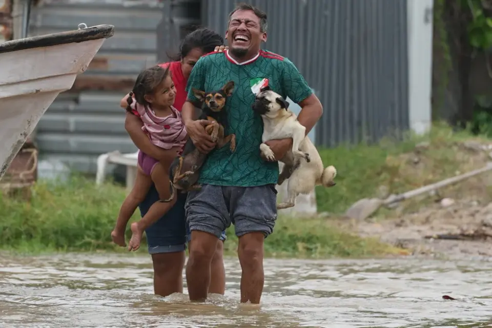
Hurricane Polo made landfall in Mexico's Baja California Sur as a Category 3 storm, bringing life-threatening winds and flash floods. Its remnants have since moved into the United States, merging with other weather systems to create a 'hybrid storm' that poses significant flooding risks across the Southwest and central US through mid-week.
Key points
- Hurricane Polo made landfall in Baja California Sur, Mexico, with maximum sustained winds near 115 mph, causing severe damage and life-threatening flash floods.
- The storm's remnants moved inland into Sonora and then into the US, interacting with an upper-level low to form a widespread 'hybrid storm.'
- The National Weather Service issued flood watches across the Southwest, warning of heavy to excessive rainfall from Arizona to Iowa, with some areas potentially receiving up to 8 inches of rain.
- A 'predecessor rain event' is occurring in the Four Corners region, where moisture from Polo and Hurricane Odalys is causing flooding ahead of the main storm system.
- Authorities urged residents to avoid travel through flooded areas, emphasizing the danger of driving through water, particularly at night.
Background
Hurricane Polo initially intensified to a Category 5 storm in late September 2026 before weakening to Category 3 as it approached Mexico. It previously threatened Southern California with high surf and caused significant disruptions in Hawaii due to the simultaneous presence of Hurricane Nolo. The current flooding in the US follows the storm's dissipation over Mexico, with its remnants now driving severe weather across the southwestern United States.
How outlets are covering it
BBC focused on the immediate impact of Hurricane Polo's landfall in Baja California Sur, highlighting the threat of life-threatening winds, flash floods, and storm surges in tourist areas like Los Cabos. USA Today emphasized the broader, lingering threat in the United States, detailing how Polo's remnants combined with other weather systems to create a 'hybrid storm' that poses flooding risks across a vast area, from Texas to Nebraska. AP News provided a general overview of the storm's path and impact in Latin America and the Caribbean, while the archive notes the storm's previous Category 5 status and its earlier threat to Southern California and Mexico's Pacific coast.
Why it matters
The aftermath of Hurricane Polo demonstrates how tropical storms can cause significant damage long after they make landfall or dissipate. The 'hybrid storm' phenomenon highlights the complex interactions between different weather systems, leading to widespread and potentially severe flooding in regions far from the original storm's path. This underscores the importance of monitoring weather patterns and heeding flood warnings, even when the primary storm has moved away.
What to watch
Forecasters expect the hybrid storm to continue bringing heavy rainfall and flooding risks to the central and southwestern US through mid-week. Authorities will likely monitor dam levels, river stages, and rainfall accumulation closely, with potential for further evacuation orders or emergency responses in affected areas. The National Weather Service will continue to update flood watches and warnings as the situation evolves.
- Hurricane Polo brushed Mexico's coast and other top photos from Latin America and the Caribbean AP News
- Hurricane Polo makes landfall in Mexico, with life-threatening winds and flooding BBC
- Polo's historic moisture plume expands flood threat into Texas The Weather Channel
- Huge 'hybrid storm' will form over the US USA Today
- Remnants of Hurricane Polo will reach Colorado this week. Here’s what to expect. Colorado Public Radio
Want the full story? Read the original reporting
Read on AP News