
Pacific storm brings first major snow and wind to Oregon and Idaho
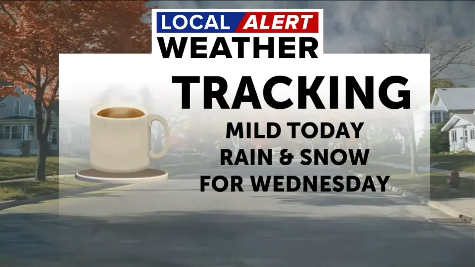
A Pacific storm system is ending a dry, warm stretch in the Pacific Northwest, bringing snow to mountain passes and breezy winds to valleys. Central Oregon and northeast Oregon are seeing the first significant snowfall of the season, with accumulating snow at higher elevations. A brief break is expected Monday before another system arrives Wednesday, bringing more snow and wind. Forecasters advise caution for mountain travel.
Key points
- Central Oregon and northeast Oregon are experiencing the first major snowfall of the season, with several inches accumulating at higher elevations.
- A brief break in the weather is expected Monday, followed by another storm system arriving Wednesday that will bring more snow and breezy winds.
- Snow levels are expected to drop to 3,000-4,000 feet, with several inches of snow possible in the mountains.
- Forecasters are advising caution for mountain travel, with gusty winds and fluctuating snow levels expected.
- The National Weather Service is forecasting a chance of rain or snow showers each day this week except Tuesday.
Background
The Pacific Northwest experienced an unusually warm and dry stretch in early November, with no major storms until late Friday. An atmospheric river brought significant rain, wind, and coastal surf from November 13 to 15, marking the start of the winter storm season. This current storm is part of a series of storms expected over the next week or so, ending the unseasonably warm and dry weather that dominated the first dozen days of November.
How outlets are covering it
KTVZ emphasizes the Local Alert Weather Day for Wednesday, with snow likely and breezy winds, while the Baker City Herald focuses on the first major storm of the season arriving late in the weekend, with several inches of snow at higher elevations. The Bend Bulletin highlights multiple storms to drop snow and rain across the High Desert, with a train of systems coming through. KBOI notes that rain moves out Tuesday before another colder storm arrives Wednesday, with snow levels falling to 3,000-4,000 feet. All sources agree on the arrival of a Pacific storm system bringing snow and wind, but differ in their emphasis on the timing and intensity of the snowfall.
Why it matters
The arrival of the first major snowfall of the season and the associated breezy winds pose a risk for mountain travel and road conditions. The fluctuating snow levels and gusty winds can lead to slick spots on area roads, and forecasters are advising caution for anyone heading over the passes. The National Weather Service is tracking the trend closely and will update the forecast as new data comes in.
What to watch
A chance of rain and snow continues before 10 p.m. Wednesday, then a chance of snow, with a low near 27 degrees. The National Weather Service is forecasting a chance of rain or snow showers each day this week except Tuesday, with snow levels lowering by Tuesday night to near the elevation of Baker City, at about 3,440 feet. Forecasters will continue to fine-tune snow totals and timing as Wednesday approaches.
- Dry, sunny stretch gives way to snow and breezy winds as Local Alert Weather Day issued for Wednesday KTVZ
- Local Alert Weather Day: Winter storm on the way to Central Oregon, latest impacts and timing details KTVZ
- Snow starting to stack up in NE Oregon mountains Baker City Herald
- Multiple storms to drop snow, rain across the High Desert Bend Bulletin
- Rain moves out Tuesday before another colder storm arrives Wednesday KBOI
Want the full story? Read the original reporting
Read on KTVZ