
Southern California Faces Sharp Weather Shift: Heavy Rain, Hail, and Flood Risks Follow Heat Wave
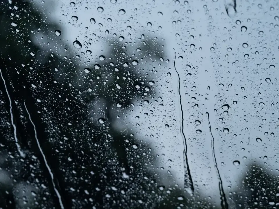
A significant weather pattern change is moving through Southern California, replacing recent heat waves and Santa Ana winds with widespread rain, thunderstorms, and cooler temperatures. The National Weather Service forecasts up to 3 inches of rain in mountainous areas, with peak precipitation expected Wednesday night through Thursday morning. While the storm is typical for the season, it poses risks of localized flooding, debris flows near recent wildfire burn scars, and hazardous driving conditions. Coastal areas face additional threats from high tides and erosion, particularly near a damaged hillside on Pacific Coast Highway in Laguna Beach. The system is expected to clear by Friday, potentially followed by another round of dry, windy conditions over the weekend.
Key points
- Rainfall totals range from 0.5 to 1.5 inches in coastal areas, with up to 3 inches expected in south-facing mountains and foothills.
- Peak precipitation is forecast for Wednesday night into Thursday morning, coinciding with heavy commuter traffic.
- There is a 30-40% chance of thunderstorms, which may produce small hail, lightning, and waterspouts that could move onshore as weak tornadoes.
- Recent wildfire burn scars are at heightened risk for debris flows and flash flooding due to reduced soil absorption capacity.
- Coastal erosion and minor flooding are possible due to the combination of elevated surf and higher tides associated with the full moon.
- The storm is expected to exit the region by Friday, with temperatures rebounding and Santa Ana winds potentially returning over the weekend.
Background
This storm follows a period of unseasonably hot temperatures and strong Santa Ana winds in October 2026, which had raised fire danger and caused coastal flooding concerns. The current system marks a typical seasonal transition in Southern California, where alternating periods of dry, hot weather and wet, cooler conditions are common in the fall. Forecasters emphasize that while the shift is dramatic, it is not abnormal for this time of year.
How outlets are covering it
The National Weather Service (NWS) in Los Angeles/Oxnard and San Diego provide consistent forecasts regarding rainfall amounts and timing, with meteorologists Carol Ciliberti and Sam Zuber highlighting the risk of short-term heavy downpours and the seasonal nature of the change. KSBW focuses on the Central Coast, noting a lower probability of thunderstorms (below 20%) compared to the 30-40% chance cited for Southern California, and emphasizes the specific risk to the Timber and Plaskett fire burn scars south of Big Sur. Yahoo News highlights broader risks, including tornado potential and Sierra snow, though the NWS explicitly states no snow is forecast at higher elevations in Southern California. All sources agree on the beneficial nature of the rain for drought conditions but differ in the emphasis on severe weather probabilities by region.
Why it matters
The sudden shift from extreme heat to heavy rain creates immediate safety concerns for drivers, residents in flood-prone areas, and communities near recent wildfire zones. The timing of the heaviest rain during peak commute hours could lead to significant traffic delays and accidents. Additionally, the potential for debris flows near burn scars poses a direct threat to life and property, requiring residents to remain vigilant and prepared for emergency evacuations if warnings are issued. Coastal erosion and flooding also threaten infrastructure, including the already compromised Pacific Coast Highway near Laguna Beach.
What to watch
Residents should monitor local weather alerts and be prepared for potential flooding and debris flows, especially near recent burn scars. Drivers should allow extra travel time and reduce speeds due to reduced visibility and slick roads. Coastal residents should stay away from the water's edge due to hazardous surf and high tides. The storm is expected to move out by Friday, with drier weather and warmer temperatures returning over the weekend, potentially accompanied by another round of Santa Ana winds.
- SoCal Weather Whiplash: Heavy Rain And Chance Of Hail, Waterspouts, And Thunder Follow Heat Wave Patch
- Storms descend on Southern California, raising risk of dangerous surf, flooding, debris flows Los Angeles Times
- California's rainy season to arrive with flood threat, tornado risk and Sierra snow Yahoo
- A Storm Will Bring Rain to California This Week The New York Times
- Rain and possibly thunderstorms target the Central Coast KSBW
Want the full story? Read the original reporting
Read on Patch