
Ancient Gondwana Expanded: Isotope Mapping Suggests It Spanned 80% of Earth’s Crust
TL;DR
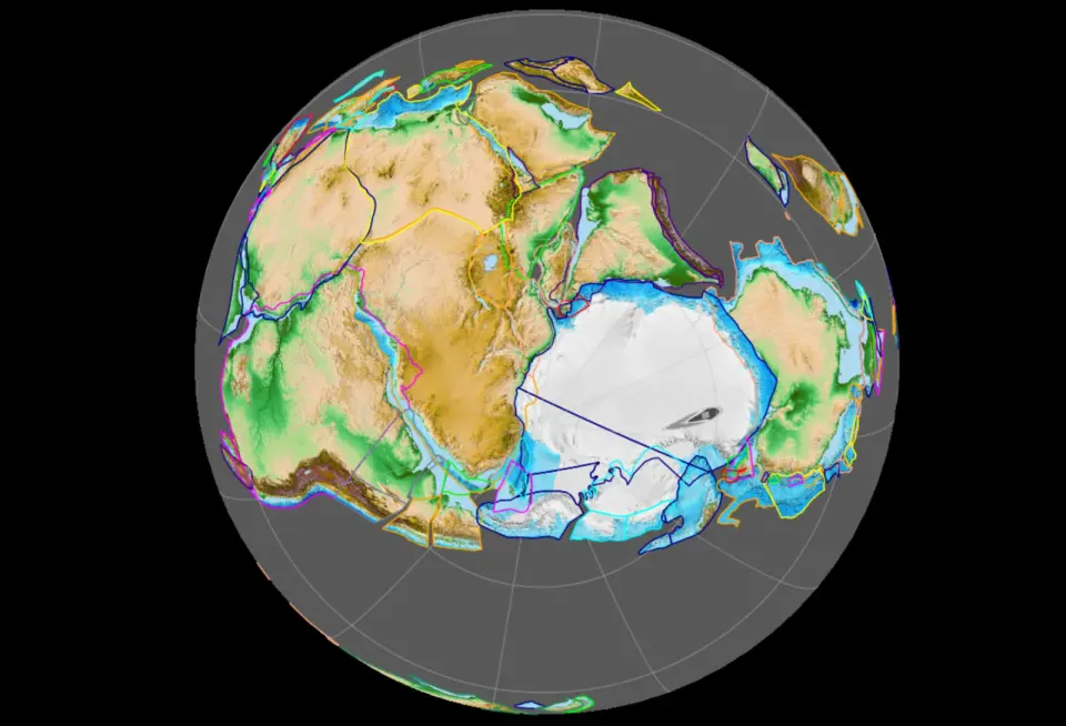
Isotope-based basement maps mapped by Curtin University reveal hidden Gondwanan crust beneath Asia, Europe and North America, boosting Gondwana’s share to about 80% of Earth’s continental crust and defining a larger landmass called Greater Gondwana. The study also uncovers a ~32,000 km belt of subduction and volcanism around Gondwana around 525–500 million years ago, a tectonic reorganization that may have influenced climate and coincided with the Cambrian explosion.
Topics:sciencediscoveries#continental-crust#discoveries#gondwana#greater-gondwana#sm-nd-isotopes#supercontinent
- Scientists find evidence for an ancient supercontinent that covered 80 percent of Earth's surface The Brighter Side of News
- Gondwana May Finally Be Elevated To True Supercontinent Status. Turns Out, It Was Way Bigger Than Thought IFLScience
- New maps reveal hidden landscapes inside a prehistoric supercontinent Scientific American
- The Remnants of a Lost ‘Supercontinent’ Just Rewrote the History of Life on Earth 404 Media
- Gondwana Really Was a Supercontinent Yahoo
Want the full story? Read the original reporting
Read on The Brighter Side of News