
PACE Opens a Multispectral Window on Earth’s Oceans, Atmosphere and Life
TL;DR
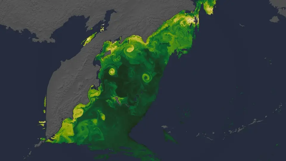
NASA’s PACE satellite uses hyperspectral imaging and polarimeters to monitor Earth’s oceans, atmosphere, and land—tracking dust and wildfire smoke plumes, mapping three-dimensional cloud structure, identifying ship-induced cloud effects, and detecting phytoplankton types (including diatoms) and blooms such as cyanobacteria in the Great Lakes and Karenia off Australia. These data help warn water managers, support emergency response, and deepen climate and ocean ecosystem understanding, while Artemis II imagery showcases Earth from space.
Topics:scienceearth-science#aerosols#earth-science#harmful-algal-bloom#ocean-color#pace#phytoplankton
New NASA Views of Earth, From (S)PACE NASA Science (.gov)
Want the full story? Read the original reporting
Read on NASA Science (.gov)