
Satellites Trace Months-Long Fractures Before Greenland’s Largest Calving in a Decade
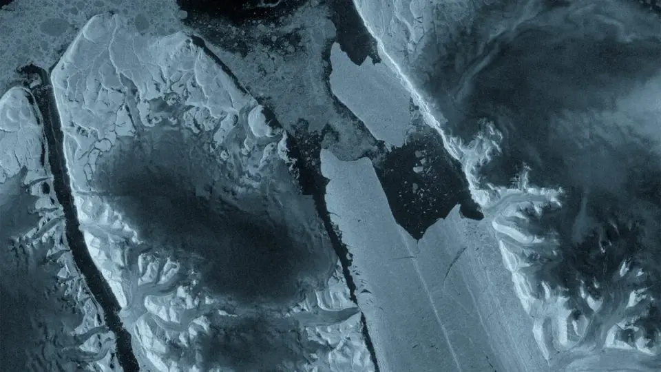
TL;DR
New satellite images show a 29-square-mile ice island calved from Greenland’s Petermann Glacier after fractures propagated over months; ESA’s Sentinel-1/2 tracked the rapid breakup, highlighting the glacier's fragility and signaling more calving events as researchers continue monitoring.
Topics:scienceearth-science#calving#earth-science#greenland#ice-island#petermann-glacier#satellite-imagery
- A Massive Iceberg Broke off Greenland. New Images Show What Led up to It Gizmodo
- Manhattan-sized ice island breaks off Greenland’s Petermann Glacier ScienceDaily
- Satellite Images Show Manhattan-Sized Ice Island Breaking Away From Greenland Glacier PetaPixel
- A Stunning Timelapse of a Colossal Iceberg Collapsing and Flipping Over in Ilulissat, Greenland Laughing Squid
- Sentinel-1 captures major ice loss from Greenland glacier European Space Agency
Want the full story? Read the original reporting
Read on Gizmodo