
Utah’s Hidden Rock Glaciers Store Climate-Ready Freshwater
TL;DR Summary
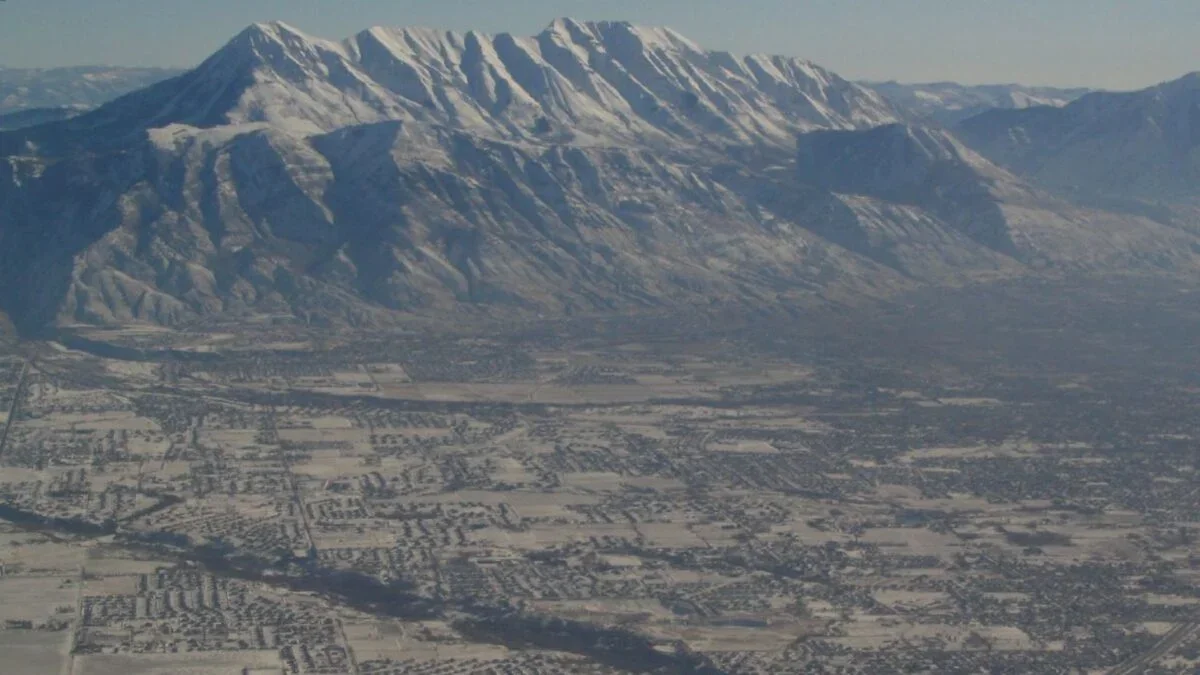
Geologists have mapped hidden ice in Utah’s Mount Timpanogos rock glaciers, estimating about 396 million gallons (roughly 600 Olympic-sized pools) of ice with an average thickness of about 61.7 feet, and found evidence ice is still forming. These climate-resilient water stores could help inform future drought management and account for a large share of the state’s freshwater supply.
- Geologists Are Hunting for Camouflaged ‘Rock Glaciers’ Vital to Global Freshwater Supplies Gizmodo
- Facing the megadrought: Researchers study underground ice reservoirs in the American West Phys.org
- Scientists Mapped a Hidden Glacier Using Gravity eos.org
- Beneath Utah's rocky slopes, scientists mapped a buried glacier packed with enough ice to power a major hydroelectric dam for years and reveal a hidden freshwater reserve that could rewrite how the arid West counts its water Energies Media
Reading Insights
Total Reads
0
Unique Readers
6
Time Saved
17 min
vs 18 min read
Condensed
98%
3,501 → 58 words
Want the full story? Read the original article
Read on Gizmodo