
A 30-meter US groundwater map reveals vast, accessible reserves
TL;DR
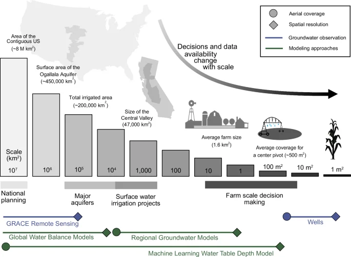
Researchers built the most detailed continental US water table depth map to date (≈30 m) using a random-forest model trained on over a million observations, estimating total groundwater storage at about 306,500 km³ (uncertainty 291,850–316,720 km³). The high-resolution product captures local variability and shallow groundwater near streams and croplands, and shows that coarse-resolution datasets systematically underestimate accessible groundwater. The study emphasizes the importance of depth-aware estimates for drought planning, agriculture, and water security, and highlights the need for expanded groundwater observations and hybrid modeling. All data and code are publicly available.
Topics:scienceenvironment#environment#groundwater#groundwater-storage#high-resolution#machine-learning#water-table-depth
Want the full story? Read the original reporting
Read on Nature