Tag

Groundwater

All articles tagged with #groundwater

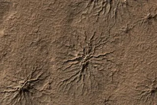
Spiderwebbed Mars rocks hint groundwater lingered longer, fueling life-hunt hopes
science19 days ago

Spiderwebbed Mars rocks hint groundwater lingered longer, fueling life-hunt hopes

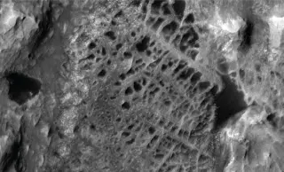
NASA’s Curiosity rover captured high-detail views of boxwork—spiderweb-like mineral ridges—in Gale Crater’s Mount Sharp. The structures formed as groundwater moved through rock fractures, depositing minerals that hardened into ridges while surrounding material eroded away. Their presence implies liquid water persisted on Mars longer than previously thought, keeping the door open to past habitability and guiding future searches for ancient life.

Radar Eyes on a Sinking City: NISAR Maps Mexico City's Rapid Subsidence
science20 days ago

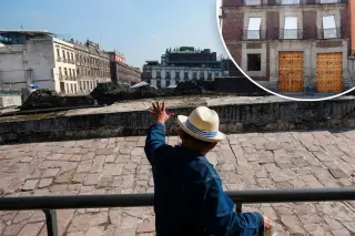
Radar Eyes on a Sinking City: NISAR Maps Mexico City's Rapid Subsidence

NASA's NISAR radar mission maps Mexico City's ongoing subsidence, showing areas sinking more than 2 cm per month in what is among the fastest rates globally, including near the main airport. The sinking stems from decades of groundwater pumping from an ancient lake bed, causing soil compaction and stress on streets, pipes and monuments like the Angel of Independence. With the water table dropping about 40 cm per year and roughly 40% of water lost to leaks, stopping subsidence would require halting groundwater extraction, a difficult trade-off given the city’s water needs. NISAR’s real-time data offers crucial insight for planning and climate-water risk in a sprawling metropolis.

Space-Based View Confirms Mexico City's Rapid Sinking
science23 days ago

Space-Based View Confirms Mexico City's Rapid Sinking

NASA’s NISAR satellite, using data from Oct 2025–Jan 2026, shows Mexico City sinking at about 24 cm per year (with hotspots like the airport and Angel of Independence), driven by groundwater pumping on an ancient lake bed and threatening subway, drainage, and historic monuments; the findings provide a powerful, global example of subsidence and a basis for mitigation and alert systems.

NASA satellite data reveal Mexico City's rapid subsidence near 10 inches annually
science23 days ago

NASA satellite data reveal Mexico City's rapid subsidence near 10 inches annually

Mexico City is sinking about 9.5 inches per year, per NASA's NISAR data from Oct 2025 to Jan 2026, making it among the fastest-subsiding cities. The subsidence, driven by groundwater pumping and a lake-bed foundation, threatens the subway, drainage, water supply, and housing, with some areas down hundreds of feet over time. Scientists plan building-level maps to guide mitigation.

NISAR Space Radar Reveals Mexico City's Ongoing Ground Subsidence
science27 days ago

NISAR Space Radar Reveals Mexico City's Ongoing Ground Subsidence

New data from NASA-ISRO's NISAR radar show parts of the Mexico City region sinking by a few centimeters per month (Oct 2025–Jan 2026) due to long-running groundwater pumping and compaction of an ancient lakebed; the subsidence has damaged infrastructure and landmarks, and NISAR’s all-weather, dual-band radar enables persistent monitoring of land motion in densely populated or vegetated regions.

Massive Hidden Freshwater Layer Detected Beneath Great Salt Lake
science1 month ago

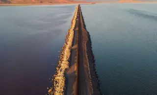
Massive Hidden Freshwater Layer Detected Beneath Great Salt Lake

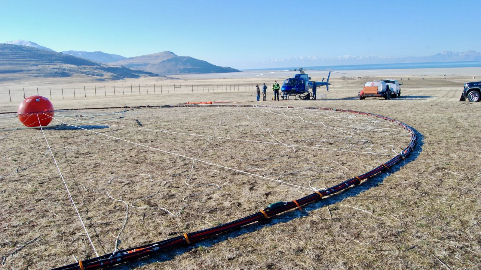
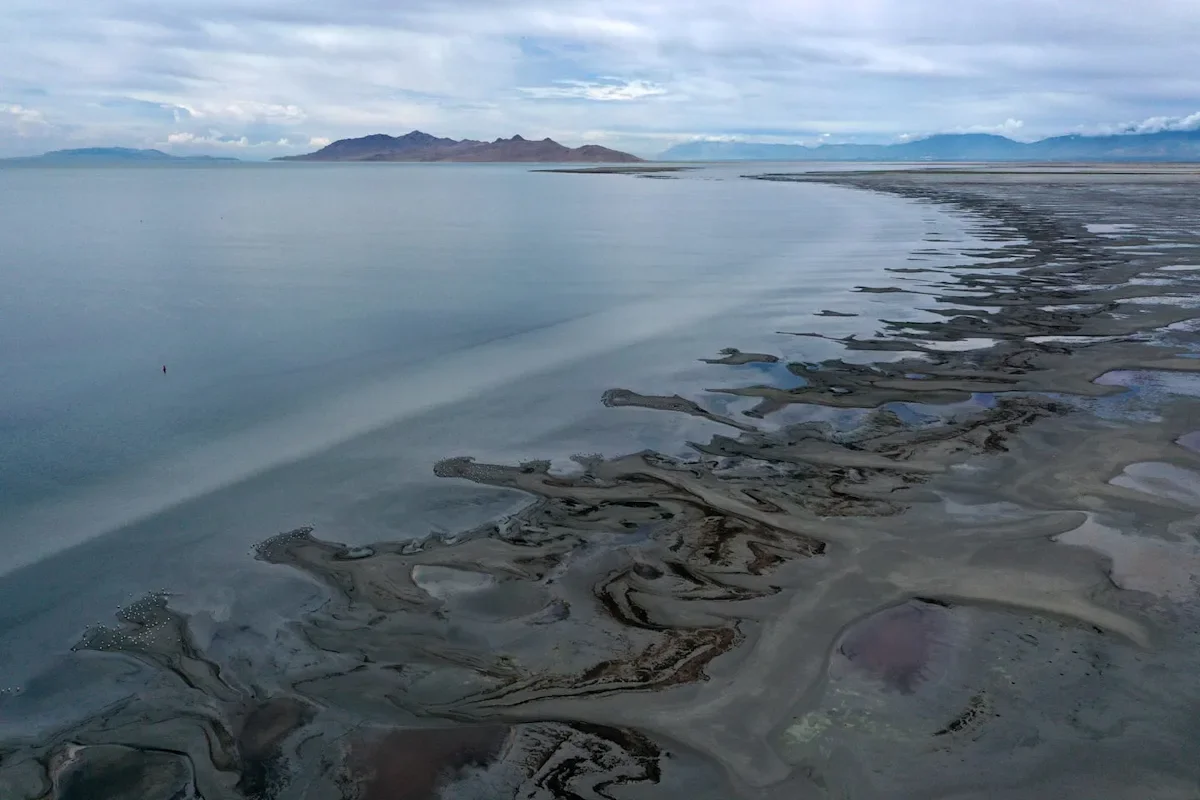
Scientists using an airborne electromagnetic survey have identified a continuous freshwater reservoir beneath Utah’s Great Salt Lake, spanning from about 100 meters (330 feet) down to 4 kilometers (2.5 miles) deep and potentially as large as the lake itself. The freshwater likely originates from mountain snowmelt and is trapped by impermeable rock layers, with some spots approaching the surface where reeds grow. While it could help damp dust and inform water management, researchers emphasize more widespread surveying is needed before considering extraction.

Massive Underground Aquifer Discovered Under the Cascade Range
science1 month ago

Massive Underground Aquifer Discovered Under the Cascade Range

Scientists using heat-flow data uncovered a continental-scale underground aquifer beneath the Oregon Cascades containing at least 19.4 cubic miles (81 cubic kilometers) of water—over twice the volume of Lake Mead—potentially the largest volcanic aquifer of its kind. The reservoir, inferred from stable deep-rock temperatures rather than drilling, suggests extensive groundwater circulation within the volcanic system and could influence future groundwater storage and the behavior of volcanic activity in the 700-mile Cascade Range. Similar aquifers north of the Columbia Gorge and near Mount Shasta imply the entire range may host this massive subterranean water system, with implications for eruption dynamics if water interacts with magma.

EPA proposes looser coal-ash rules, sparking groundwater concerns
environment1 month ago

EPA proposes looser coal-ash rules, sparking groundwater concerns

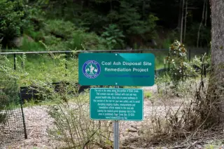
The EPA proposed weakening cleanup rules for coal ash disposal, including easing groundwater monitoring, allowing exemptions to national standards, and expanding the reuse of coal ash, moves critics say could leave toxins like mercury and lead in groundwater. The plan would roll back some Biden-era protections that required site-wide cleanup and stricter controls, prompting opposition from environmental groups despite industry calls for flexible, site-specific approaches and potential cost savings.

Massive freshwater layer found beneath Great Salt Lake could reshape Utah's water future
planet-earth1 month ago

Massive freshwater layer found beneath Great Salt Lake could reshape Utah's water future

Scientists using airborne electromagnetic surveys found a deep layer of fresh water beneath the eastern margin of Utah's Great Salt Lake, ranging from about 100 meters to 2.5 miles deep. The water likely originates from surrounding mountains and is trapped by underlying rock, suggesting a potentially vast reservoir that could help damp toxic dust from exposed lake beds and provide irrigation water, though expansion of the survey is needed to determine full extent.

Hidden Freshwater Reservoir Revealed Beneath the Great Salt Lake
science1 month ago

Hidden Freshwater Reservoir Revealed Beneath the Great Salt Lake

University of Utah researchers used airborne electromagnetic surveys over Farmington Bay to map beneath the Great Salt Lake and found freshwater permeating sediments up to about 4 kilometers deep, indicating a substantial subsurface reservoir. The study linked reed‑filled mounds to freshwater breakthroughs and mapped the potential volume, though the full extent remains unknown and requires more surveys. If confirmed, this groundwater could help wet dust hotspots and contribute to water resources without overly perturbing the lake system.

Drought Drives Deep Wells and Rising Costs in Texas Hill Country
environment2 months ago

Drought Drives Deep Wells and Rising Costs in Texas Hill Country

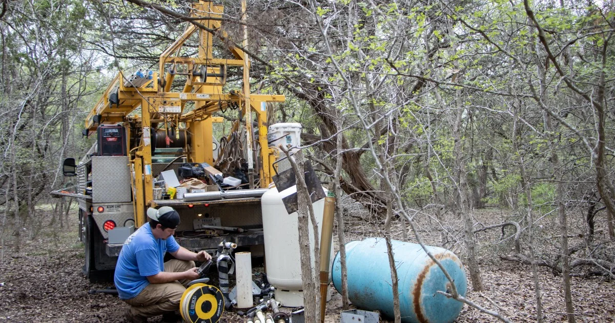
Drought has driven groundwater levels down across Hays County, forcing deeper wells and a boil-water order in Radiance after the second well dried up; as of March, 100% of the district's monitored wells are below historic levels, with many new wells tapping the confined Lower Trinity Aquifer that cannot recharge. Rainfall would need 34 inches in six months to replenish the aquifer, an unlikely scenario, driving costs up: pumping reductions (~$1,500), pump replacements (~$7,500), and drilling new wells (up to ~$75,000), with Radiance taking a $40,000 loan. While current water tests show no major hardness or bacteria spikes, drought conditions raise future risks of mineral buildup and bacterial increases, threatening long-term water reliability for Hill Country communities.

Hidden Freshwater Beneath Great Salt Lake Could Help Douse Dust
earth-science2 months ago

Hidden Freshwater Beneath Great Salt Lake Could Help Douse Dust

An airborne electromagnetic survey by University of Utah researchers found a deep freshwater reservoir beneath the shrinking Great Salt Lake, extending 3–4 kilometers (10,000–13,000 feet) below the saline lake and possibly reaching toward its interior. The discovery could help mitigate dust pollution by wetting hotspots, though scientists aim to map the lake’s full footprint to quantify the freshwater resource and its ecological implications.

Underground Freshwater Vault Discovered Beneath Great Salt Lake
science2 months ago

Underground Freshwater Vault Discovered Beneath Great Salt Lake

Researchers using airborne electromagnetic surveys and magnetic data mapped beneath Utah’s Great Salt Lake and uncovered a large, previously unknown freshwater reservoir that extends deep into the basin, challenging the idea that the lake is fully saline. The find suggests mountain-fed freshwater can infiltrate far beneath the surface and may offer new options for drought and dust mitigation, though surveys are incomplete and sustainable use requires caution; the study, published in Scientific Reports, emphasizes the need to survey the entire lake to determine the reservoir’s true extent.