
Bay Area Map Highlights High-Risk Wildfire Zones
TL;DR Summary
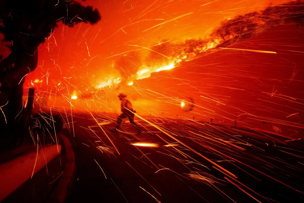
A new wildfire risk map for the Bay Area, developed through a collaboration between NASA and local fire safety organizations, highlights areas most vulnerable to ember-driven wildfires, emphasizing the increasing threat due to climate change and providing a tool for targeted risk reduction efforts.
Reading Insights
Total Reads
0
Unique Readers
9
Time Saved
6 min
vs 6 min read
Condensed
96%
1,198 → 44 words
Want the full story? Read the original article
Read on East Bay Times