
Bay Area Map Highlights High-Risk Wildfire Zones
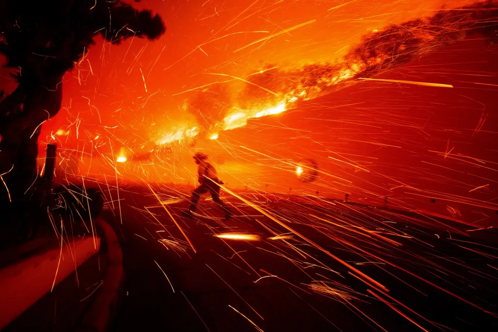
A new wildfire risk map for the Bay Area, developed through a collaboration between NASA and local fire safety organizations, highlights areas most vulnerable to ember-driven wildfires, emphasizing the increasing threat due to climate change and providing a tool for targeted risk reduction efforts.