
Explore Mars in Stunning Detail with NASA's Interactive 3D Map.
TL;DR Summary
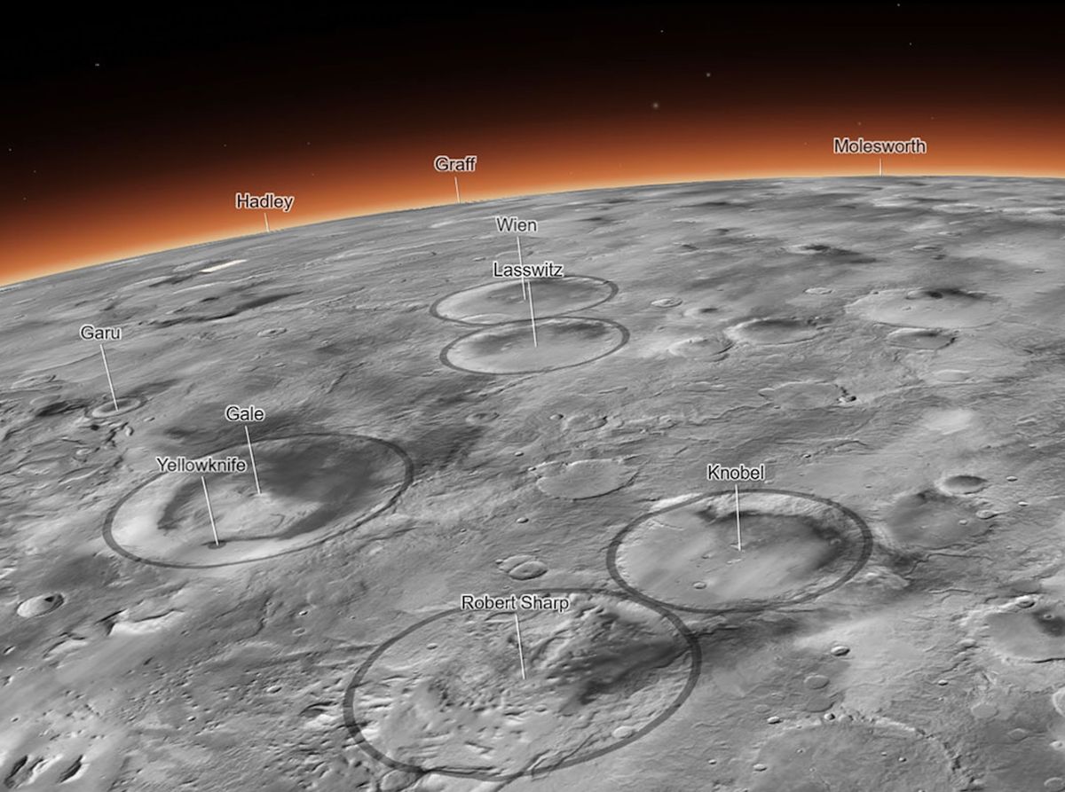
NASA has released the most detailed 3D map of Mars ever made, created by the Bruce Murray Laboratory for Planetary Visualization at the California Institute of Technology. The interactive Global CTX Mosaic of Mars map is a mosaic created from images taken by NASA's Mars Reconnaissance Orbiter, covering some 270 square feet of the Martian surface in each pixel. The map is available to the public and is exceptionally easy to use, with tabs to click that will bring you to points of interest, like Jezero Crater, where NASA's Perseverance rover is currently working, and Olympus Mons, the largest volcano in the solar system.
Topics:science#3d-map#bruce-murray-laboratory#mars#mars-reconnaissance-orbiter#nasa#science-and-technology
- Zoom in on Mars like never before with this epic 3D map of the Red Planet Space.com
- This interactive Martian mosaic from NASA is the coolest thing I’ve seen this year Yahoo Entertainment
- Scientists Have Created a Huge 5.7-Terapixel Global Image of Mars PetaPixel
- Incredible High-Res Interactive Map Shows Mars As You've Never Seen It Before IFLScience
- This interactive Martian mosaic from NASA is the coolest thing I've seen this year BGR
Reading Insights
Total Reads
0
Unique Readers
12
Time Saved
2 min
vs 3 min read
Condensed
75%
421 → 104 words
Want the full story? Read the original article
Read on Space.com