
Explore Mars with NASA's Interactive Map
TL;DR Summary
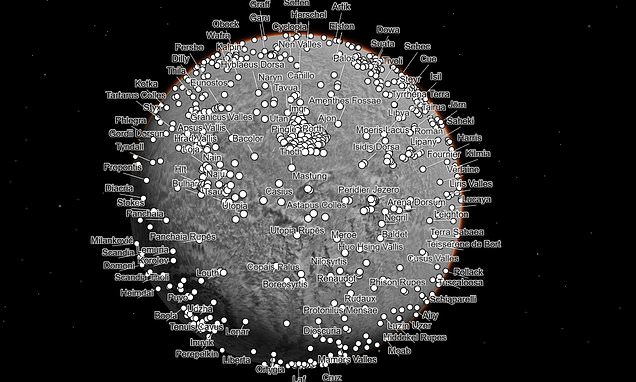
NASA has released an interactive map of Mars that allows users to explore the planet's cliffsides, impact craters, and dust devil tracks from the comfort of their homes. The map was created using 110,000 images taken by NASA's Mars Reconnaissance Orbiter and covers nearly 270 square feet of surface per pixel. Users can zoom in and out and click on specific features to explore them in detail. The map includes stunning geological features such as Olympus Mons, Zunil, and Eberswalde, as well as regions being explored by NASA's Curiosity and Perseverance Rovers for signs of ancient microbial life.
Reading Insights
Total Reads
0
Unique Readers
10
Time Saved
4 min
vs 5 min read
Condensed
89%
856 → 98 words
Want the full story? Read the original article
Read on Daily Mail