
Aerial View: Cape Cod and the Islands from Space
TL;DR Summary
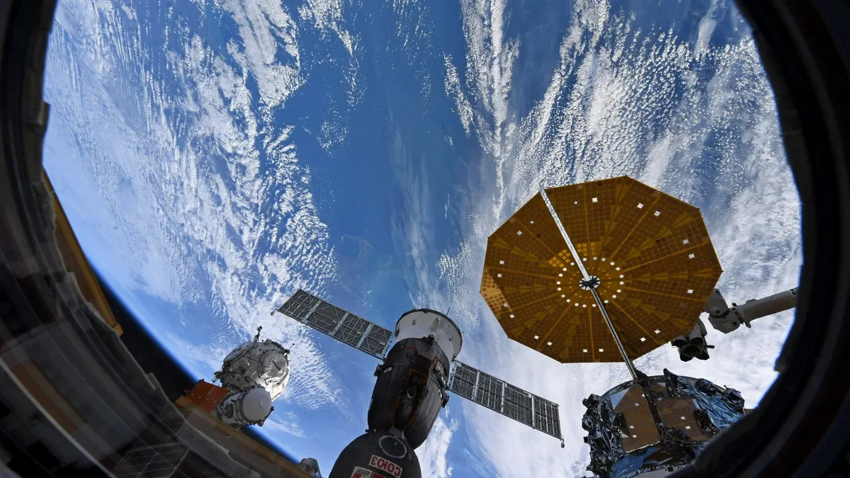
NASA astronaut Loral O'Hara, a former research engineer at Woods Hole Oceanographic Institution, shared stunning photos of Cape Cod and the Islands taken from the International Space Station. The aerial shots showcase the hook-shaped peninsula and its neighboring land masses surrounded by the beautiful blues of the ocean. O'Hara, who launched to the space station in 2017, captured the images during a pass over the Cape and Islands while lifting weights. The International Space Station orbits Earth from 227 miles above, providing the crew with 16 sunrises and sunsets every day.
Here's what Cape Cod and the Islands looks like from space Cape Cod Times
Reading Insights
Total Reads
0
Unique Readers
10
Time Saved
1 min
vs 2 min read
Condensed
72%
323 → 91 words
Want the full story? Read the original article
Read on Cape Cod Times