
Starling cubesats prove GPS-free orbit navigation with optical landmarks
TL;DR
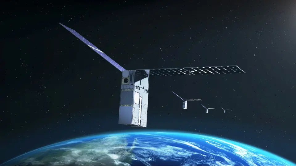
NASA's Starling four-cubesat mission demonstrated GPS-free navigation by using onboard cameras to observe thousands of known satellites and an onboard catalog (FALCON) to self-determine orbit and enhance space traffic awareness; the demo is being extended to at least 2028 to maximize navigation capabilities for future missions beyond Earth, including lunar exploration, while addressing GPS vulnerabilities and DoD-space PNT interests.
- NASA satellites ace world's 1st 'lost-in-space' GPS-free navigation experiment Space
- NASA’s Starling Mission Opens New Frontiers in Space Navigation NASA (.gov)
- NASA tests first-of-its-kind spacecraft navigation system that works without GPS Interesting Engineering
- NASA satellites just learned how to navigate without GPS Yahoo Tech
- NASA Starling Demonstrates GPS-Independent Optical Navigation Mobility Engineering Technology
Want the full story? Read the original reporting
Read on Space