
"HotSat-1: Mapping Earth's Heat Variations from Space"
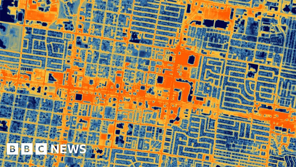
HotSat-1, a UK satellite equipped with the highest resolution commercial thermal sensor in orbit, has captured its first images of heat variations on Earth's surface. The satellite's heat maps can trace hot and cold features as small as 3.5m across, allowing for precise mapping of flame fronts from Canadian wildfires and the detection of heat signatures from a Chicago train. The data collected by HotSat-1 will have wide applications, particularly in climate-related matters, urban planning, and energy efficiency. The satellite's imagery can help identify poorly insulated buildings, heat islands in cities, and even provide intelligence to sectors such as finance and insurance. SatVu, the London operator of HotSat-1, plans to launch seven additional spacecraft to increase data acquisition and improve monitoring capabilities.
Want the full story? Read the original reporting
Read on BBC.com