
NASA-ISRO Satellite Captures First Radar Images of Earth's Surface
TL;DR
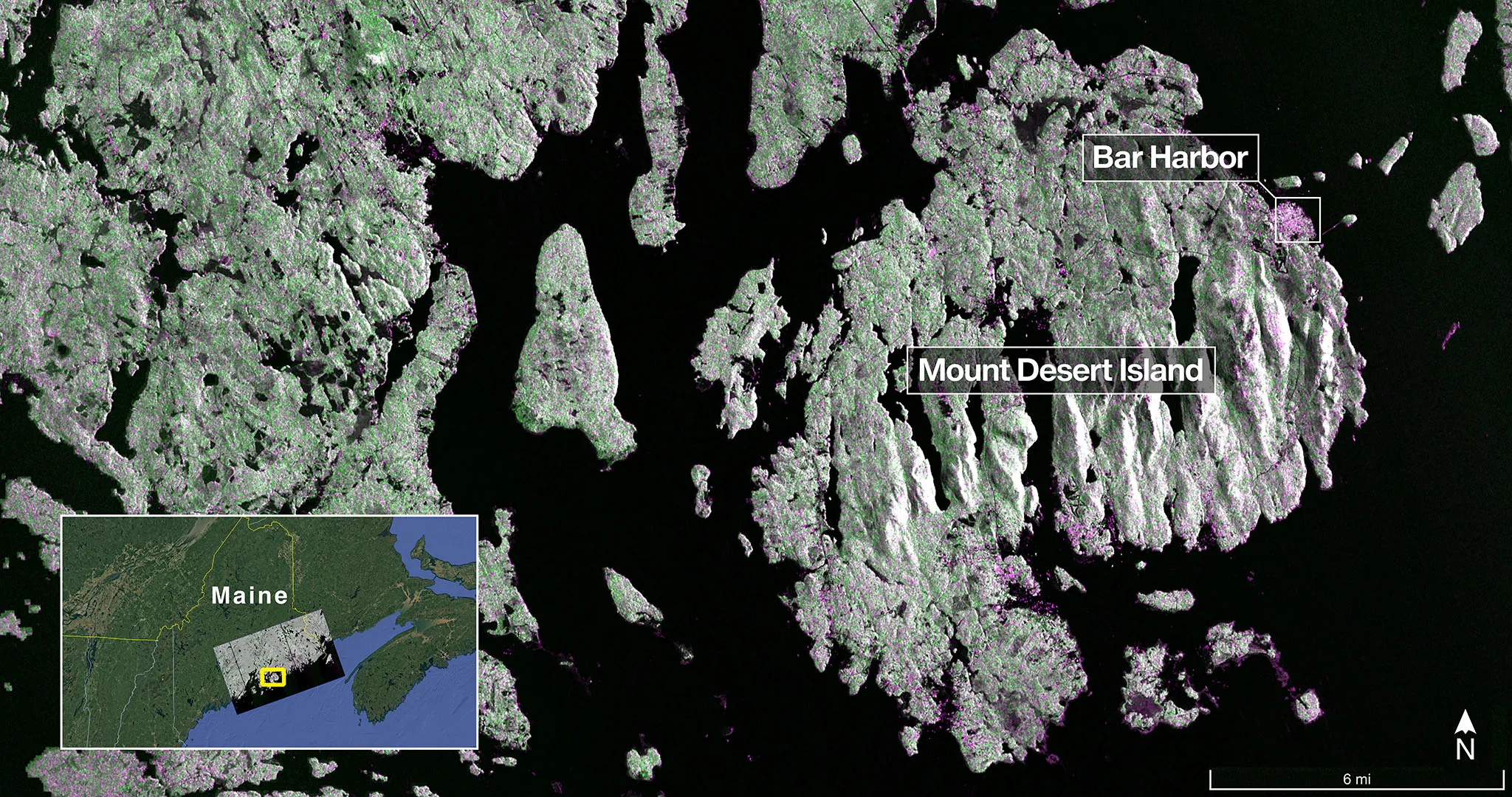
NASA and ISRO's joint NISAR satellite has captured its first detailed radar images of Earth's surface, demonstrating its capabilities in monitoring land and ice surfaces for applications like disaster response and environmental management, with full science operations expected later this year.
Want the full story? Read the original reporting
Read on NASA (.gov)