
"Satellite Imagery Reveals Israeli Road Dividing Gaza, Reaching Mediterranean Coast"
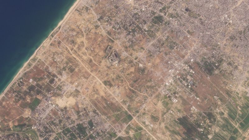
Satellite imagery shows that an Israeli-built road has reached the Mediterranean coast, splitting the Gaza Strip in two as part of a security plan to control the territory. The road, named the "Netzarim Corridor," is intended to establish an operational foothold for the Israeli military and facilitate the passage of forces and logistical equipment. Israeli officials have unveiled a plan for a post-Hamas future for Gaza, including demilitarization and an overhaul of security and civil administration systems, sparking fears among Palestinians of further restrictions on their freedom of movement. The road construction has raised concerns about the impact on civilian infrastructure and movement, with memories of past Israeli occupation and checkpoint restrictions resurfacing among Gaza residents.
Reading Insights
0
10
7 min
vs 8 min read
93%
1,566 → 116 words
Want the full story? Read the original article
Read on CNN