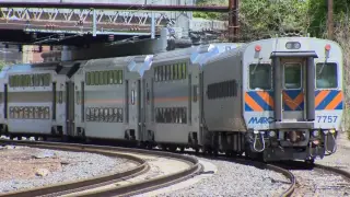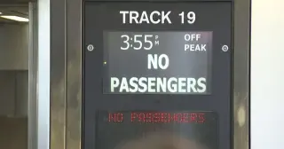
Long Island Rail Road workers' strike continues into a second day, triggering the MTA's contingency plan with limited shuttle buses, anticipated pro-rated refunds for monthly pass holders, and disrupted weekend events as riders brace for Monday’s busy commute.
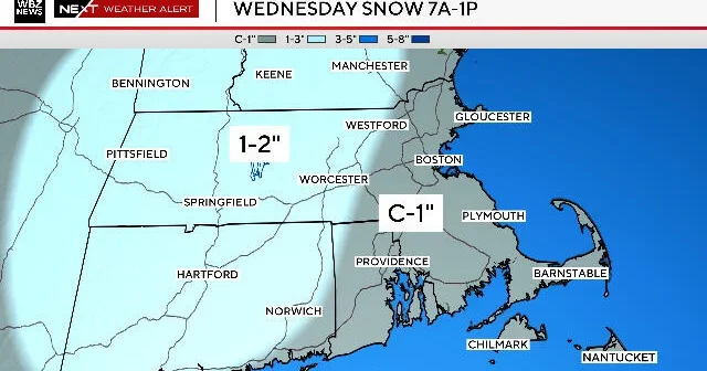
Two chances for light snowfall in the Boston area: a Wednesday morning event expected to last about 4–6 hours with a coating to 1 inch east of Route 495 and 1–2 inches west, with possible rain mixing in along the South Coast; most accumulation should melt by afternoon as sun returns; a small, uncertain chance of a Thursday night flurry if a southern storm brushes by; weekend forecast calls for near 50°F.
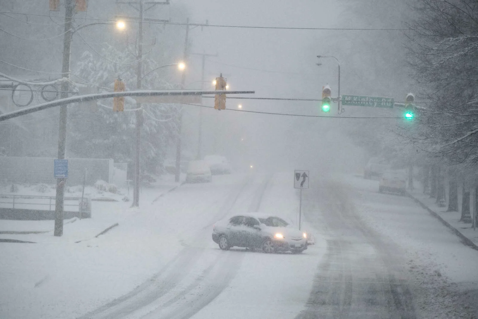
A Winter Weather Advisory has been issued for Arlington and the D.C. area, with 2-4 inches of snow expected Sunday night into Monday morning and winds gusting up to 35 mph, likely causing slippery roads and possible impacts to the Monday commute.
Snow returns to the NYC area Sunday evening into Monday morning, with 1–3 inches expected overall and the heaviest totals south and east of the city. The fast-moving system could impact the Monday morning commute, but skies are expected to clear by Presidents' Day afternoon and it isn’t anticipated to be as disruptive as the previous storm.
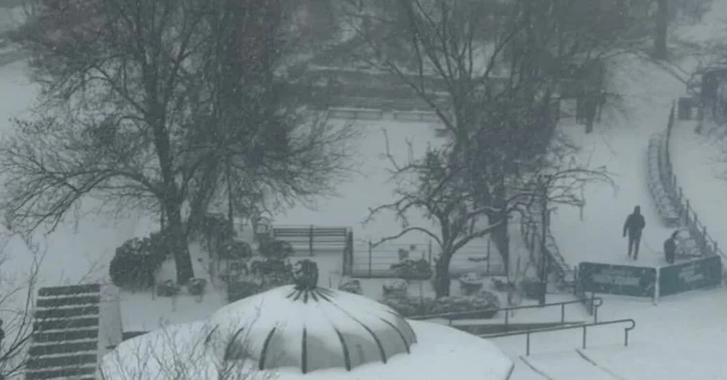
A week after a punishing storm, New York City continues to contend with dirty, rock-solid snow and icy sidewalks. Temperatures hover around freezing, keeping melt at bay and forcing cautious commutes for pedestrians, cyclists, and drivers as the city endures a stubborn, lingering winter.
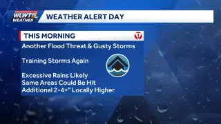
The Bay Area is preparing for heavy rain and strong winds during Thursday morning's rush hour, with wind gusts up to 60 mph and an atmospheric river expected to bring significant weather impacts, though not necessarily large rainfall totals. Authorities advise delaying travel and expect potential power outages due to falling trees and limbs. A weaker system is forecasted for the weekend and early next week.
A Winter Weather Advisory has been issued for Lake, Geauga, and Ashtabula counties in Northeast Ohio, with mixed precipitation and up to one inch of snow expected overnight, leading to slippery road conditions for the morning commute.
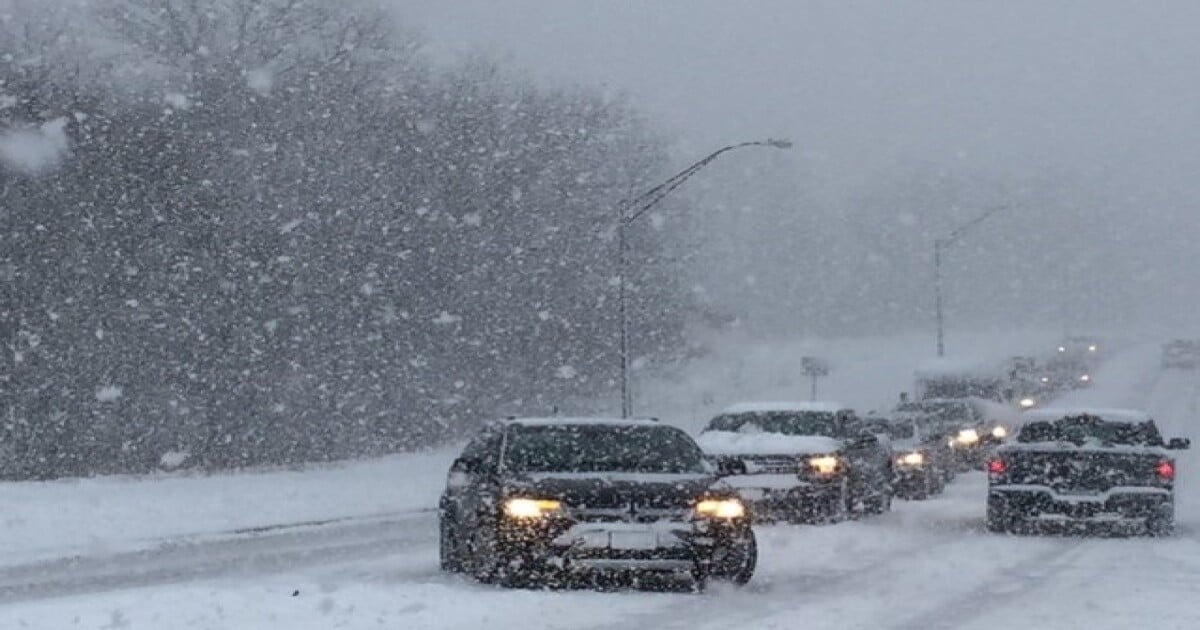
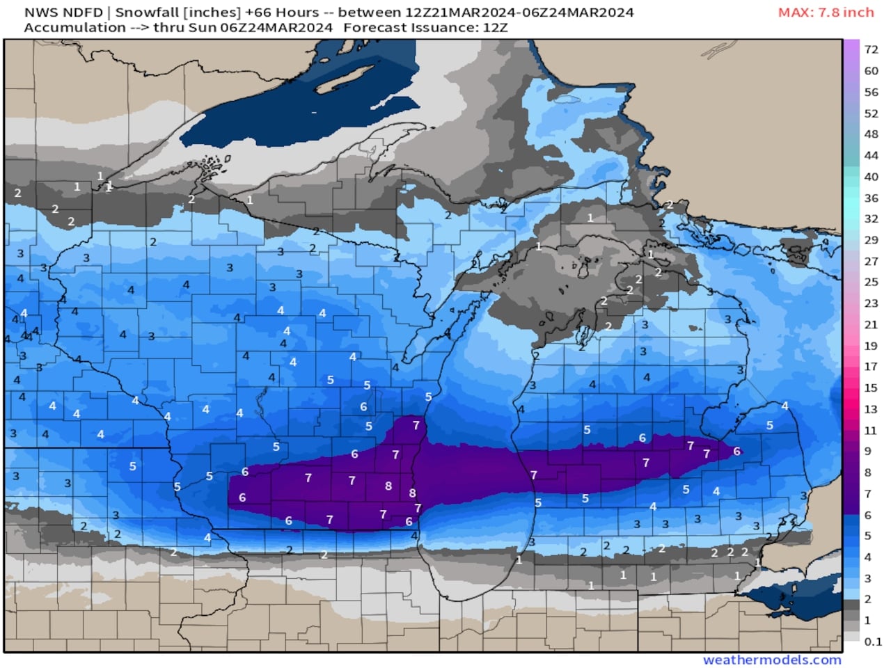
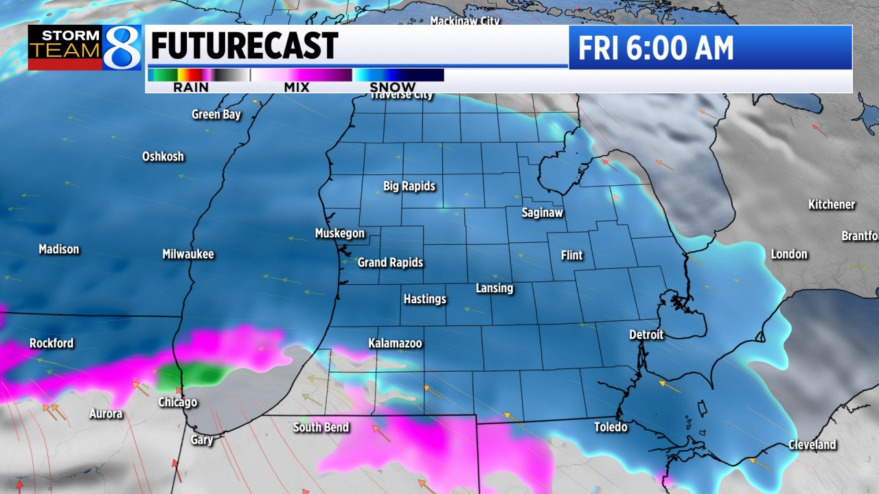
The National Weather Service has forecasted a heavy snow band with up to 8 inches of snow across Mid-Michigan on Friday, warning of a messy commute and advising extra travel time. Widespread snow is expected across Michigan, with some areas in southern Michigan likely to experience a rain-snow mix or sleet. Slick roads and reduced visibility are anticipated, especially in the heavy snow band area, with impacts expected on the Friday morning commute.
Late-season snowfall is expected to hit parts of West Michigan on Friday, with wet and heavy snow likely to impact the morning commute, especially north of I-94. Accumulation is most likely north of I-94, with areas along and north of Ottawa, Kent & Ionia counties potentially seeing more than two inches. School closings are possible, contingent on the intensity and timing of the snowfall. However, any snow that falls is expected to melt quickly with above-freezing highs and sunshine forecasted for the weekend.
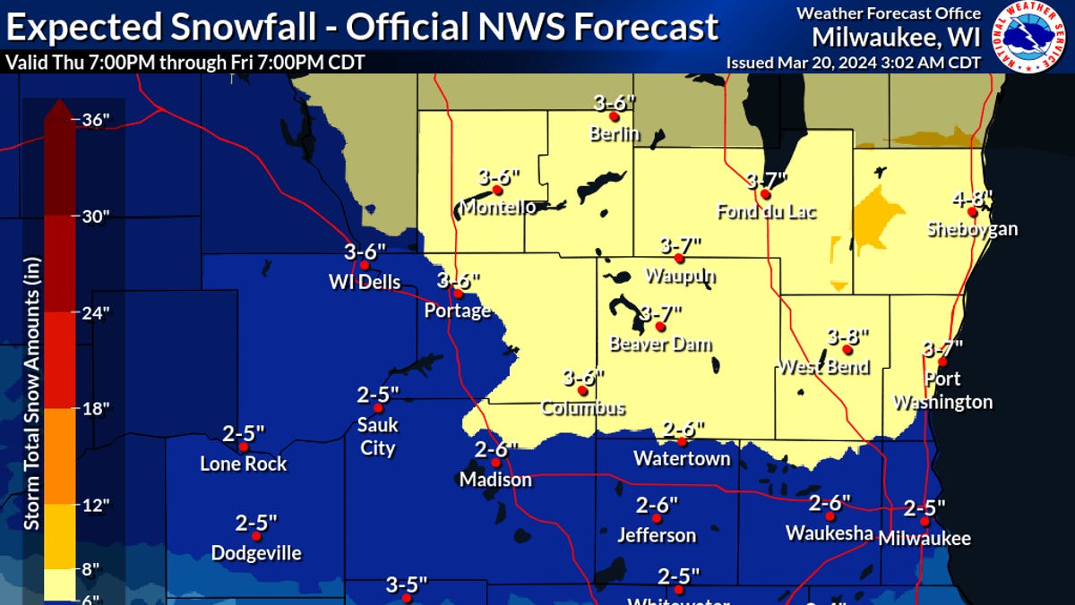
The National Weather Service forecasts 2 to 5 inches of snow for Milwaukee late Thursday night and into Friday morning, with heavier snowfalls expected in northern parts of the state. The snow is attributed to a cold airmass and a low-pressure system drawing moisture from the Gulf of Mexico. The Friday morning commute is likely to be impacted, particularly in northern areas. Additionally, more snow is expected on Sunday, with a potential mix of rain and snow, before a mild reprieve with temperatures in the 40s early next week.
A quick-hitting snowstorm is forecasted for Thursday morning in Michigan, with the heaviest snow expected during the morning commute from 6 a.m. to 9 a.m. Snow rates of 1 inch per hour are possible, with total accumulations of 2 to 4 inches along the I-96 Corridor to M-20 and 4+ inches north of M-20. Temperatures are expected to warm above freezing by 10 a.m., causing the snow to melt in some areas. Slick and snow-covered roads with travel slowdowns are anticipated, and caution is advised for the morning commute.
Winter Weather Advisories are in effect for counties along the Lake Ontario shoreline in central New York starting at 6pm tonight, with an expected 1-3" of snow accumulation by Wednesday morning and localized pockets receiving slightly more. The system, weaker than the one hitting New York City, will likely result in wet and snow-covered roads for the Wednesday morning commute, with temperatures dropping into the teens after midnight and another round of snow expected on Thursday night and Friday.
The DC area is expected to experience heavy rain and nearly 4 inches of snow on Tuesday, leading to a winter weather advisory and school closings and delays. Commuters are advised to be cautious due to slippery roads, while snowplows are on standby to clear any accumulation. The snow is expected to end by 11 a.m., with temperatures in the 40s and wind chills in the 30s.
A burst of snow is expected to slow down this morning's commute in the D.C.-area, prompting winter weather advisories and school delays. The wet snow is forecasted to transition to rain and then clear out by midday, with gusty winds following in the afternoon. The rest of the week will be relatively tranquil with a warming trend, before a chance of light precipitation on Saturday.
Winter weather advisories have been issued for several counties as rain is expected to turn heavy tonight before mixing with and changing to snow, particularly north and west of Interstate 95. The wet snow or snow-rain mix could cause slushy roads and accumulate up to an inch or two in some areas, with temperatures falling through the 40s toward the 30s. Tomorrow, moderate to heavy wet snow is expected to continue into the morning commute period, with the potential for slushy roads persisting, before tapering off during the midday. Wind gusts of 30 to 35 mph are possible, with temperatures ending up near the mid-40s for highs.