"Midwest Braces for Nocturnal Tornado Threat Amid Unusual Severe Weather Event"
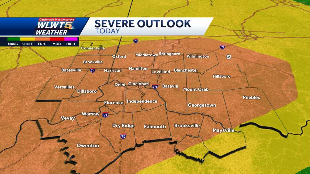
Spring-like weather will bring a threat for severe storms overnight Tuesday into Wednesday, with the potential for damaging winds and a few tornadoes as temperatures fall into the teens by Thursday morning. A passing warm front on Tuesday morning may trigger scattered storms with the potential for small hail, mainly along and south of the Ohio River. After a morning rain threat, Tuesday looks breezy, mild, and dry with highs near 70, but a strong cold front arriving late Tuesday night will bring strong-to-severe storms. The storm threat will end quickly during the Wednesday morning commute as strong winds send temperatures crashing into the 30s, with sunny and cool conditions expected on Thursday and a return to the 60s by the weekend.