
Coastal Sinking: A Critical Observation
TL;DR
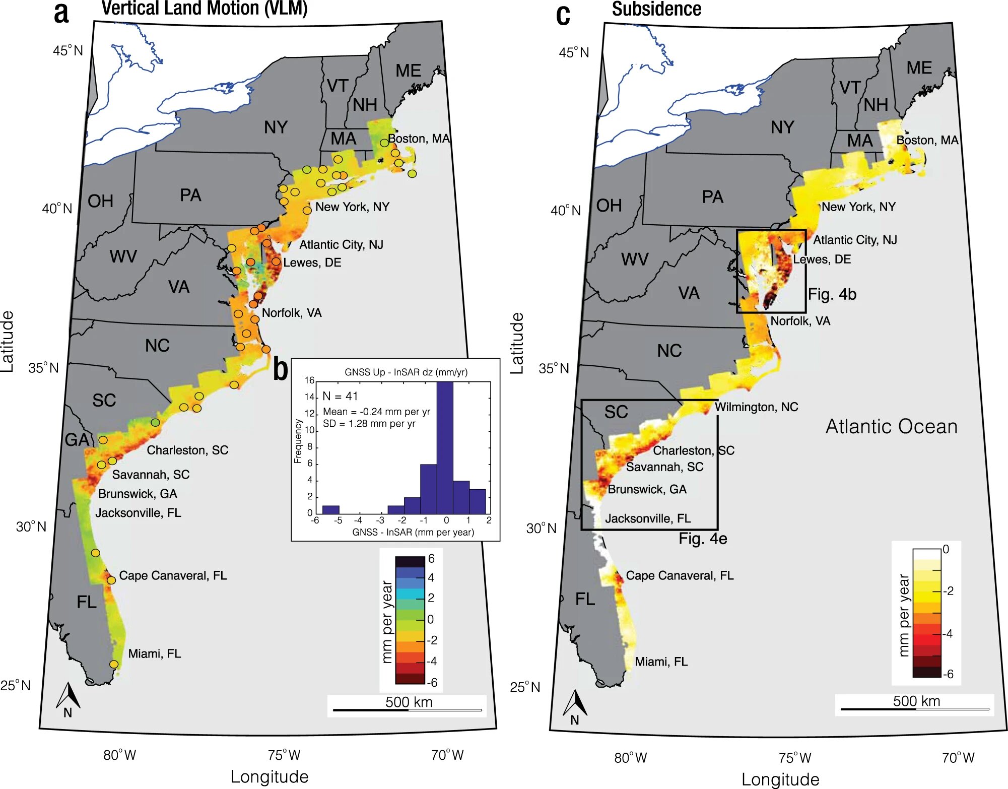
Researchers at Virginia Tech's Earth Observation and Innovation Lab have created high-resolution maps of land subsidence, or sinking land, using publicly available satellite imagery. The maps reveal that many areas along the US Atlantic coast are more vulnerable to floods and erosion than previously thought, with places like New York City and Charleston sinking up to two millimeters per year. The lab's mapping has drawn the attention of multiple government agencies, leading to investment in an effort to fill a critical gap of information and help people better plan at the local, state, federal, and global level.
Topics:scienceenvironment#climate-change#coastal-erosion#environment#floods#land-subsidence#wetlands
Want the full story? Read the original reporting
Read on Phys.org