
China's Hyperspectral Satellite Unveils Stunning Public Images.
TL;DR Summary
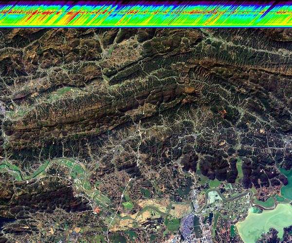
China's Hyperspectral Multifunctional Observation Satellite has released its first public images, including a wide thermal infrared imager and an advanced hyper-spectral imager. The images will help scientists track greenhouse gases, monitor water quality, and look for minerals and other resources. The satellite was launched in December and is in the middle of a six-month trial operation. Its data will support China's efforts to respond to climate change, and the main users will be the Ministry of Ecology and Environment, the Ministry of Natural Resources, and the China Meteorological Administration.
Topics:science#china#climate-change#earth-observation#gaofen-program#hyperspectral-multifunctional-observation-satellite#science-and-technology
Reading Insights
Total Reads
0
Unique Readers
7
Time Saved
3 min
vs 4 min read
Condensed
86%
635 → 89 words
Want the full story? Read the original article
Read on Space Daily