
Europe's New Satellite Captures Stunning Photo of Earth's Climate.
TL;DR
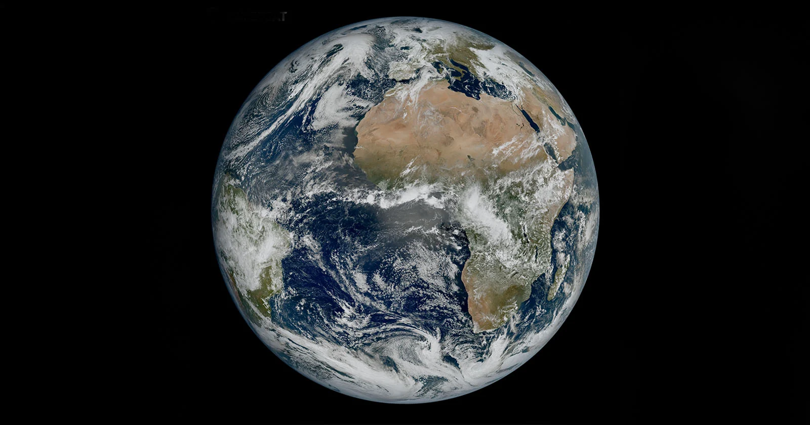
The European Space Agency has released a stunning photo of Earth captured by its latest satellite imager, the Meteosat Third Generation Imager-1 (MTG-I1), which can produce imagery at a much higher resolution and more frequently than its predecessors. The image reveals weather conditions above Africa, Europe, and the Atlantic, with details such as cloud vortices over the Canary Islands, snow cover on the Alps, and sediment in the water along the coast of Italy now visible to scientists. The MTG-I1 is currently undergoing a 12-month calibration phase, and its high-resolution imaging is expected to revolutionize weather forecasting.
Topics:sciencescience-and-technology#european-space-agency#high-resolution-imaging#meteosat-third-generation-imager-1#satellite-imagery#science-and-technology#weather-forecasting
- Stunning Photo of Earth Taken by Europe's Powerful New Satellite PetaPixel
- The 1st photo of Earth from Europe's powerful new satellite is amazing Space.com
- Star swallows planet in first glimpse of Earth's likely end | WION Climate Tracker WION
- Europe's new weather satellite delivers stunning Earth views - Learn about it! VideoFromSpace
Want the full story? Read the original reporting
Read on PetaPixel