
"Explore Mars in Unprecedented Detail with NASA's Interactive 3D Map"
TL;DR Summary
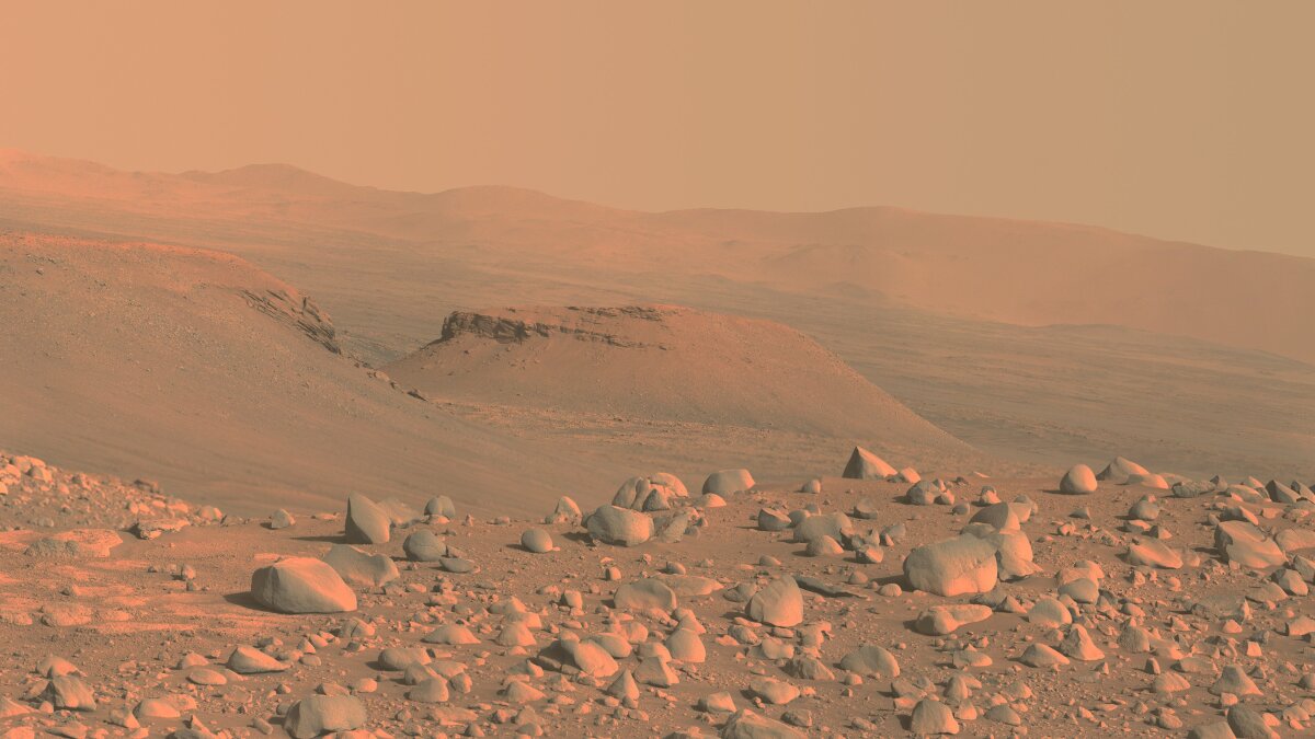
Caltech scientists have created a 3D image of Mars called the Global CTX Mosaic of Mars, which has 5.7 trillion pixels of data, making it 20 times sharper than the previous highest-resolution global image of the Red Planet. The mosaic covers 99.5% of the planet using nearly 87,000 separate images taken between 2006 and 2020 by a camera on the Mars Reconnaissance Orbiter. The tool allows anyone to zoom in on the planet and get a close-up of meteorite craters, dust devil tracks, extinct volcanoes, former riverbeds, and seemingly bottomless caves.
Topics:science#3d-image#global-ctx-mosaic-of-mars#mars#nasa#perseverance-rover#science-and-technology
- Mars scientists spent 6 years making the most detailed image of the planet Mashable
- Google Earth? Pah, now we've got a 3D version for Mars The Register
- Zoom in on Mars like never before with this epic 3D map of the Red Planet Space.com
- NASA releases an incredible interactive map that lets you explore MARS Daily Mail
- This interactive Martian mosaic from NASA is the coolest thing I’ve seen this year Yahoo Entertainment
Reading Insights
Total Reads
0
Unique Readers
12
Time Saved
3 min
vs 4 min read
Condensed
88%
784 → 91 words
Want the full story? Read the original article
Read on Mashable