
Spell Your Name in Landsat Imagery, NASA-Style
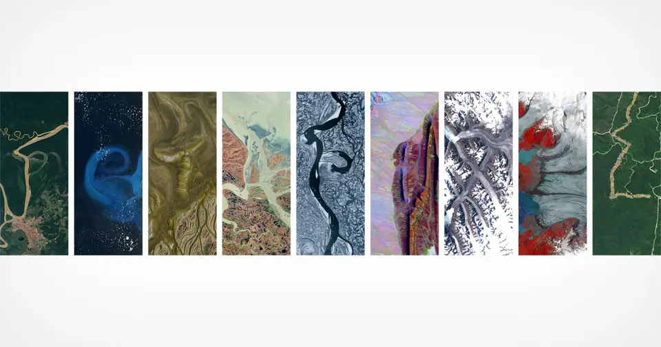
NASA, via its Kennedy Space Center and in partnership with the USGS, has promoted a Landsat-based tool that lets people spell out their name or any word using publicly available Landsat satellite imagery. The images are processed into false-color views that highlight environmental features, showcasing how letters can appear in natural landscapes (e.g., an “A” shape formed by Lake Mjøsa, Norway, and a lowercase “g” near Fonte Boa, Brazil) and noting Landsat’s long history of Earth observation since 1972. The feature, which first surfaced in Camp Landsat in 2024, is available online for users to try, illustrating how imagery can reveal patterns in land use and environment while offering a playful take on satellite data.
- You Can Spell Your Name is Aerial Images Thanks to NASA PetaPixel
- NASA’s New Tool Lets You Write Your Name Across Earth With Satellite Images ZME Science
- Your name in Landsat: How to use NASA’s satellite name generator The Hindu
- NASA’s Earth Day tool spells your name with satellite images WCVB
- NASA’s free satellite tool lets you spell out your name in rivers, rocks and lakes — and I'm hooked TechRadar
Want the full story? Read the original reporting
Read on PetaPixel