NASA's Landsat tool lets you spell your name across Earth from space
NASA offers a free interactive tool that uses Landsat imagery to spell a user’s name in natural Earth formations, viewable from space.
All articles tagged with #landsat

NASA offers a free interactive tool that uses Landsat imagery to spell a user’s name in natural Earth formations, viewable from space.

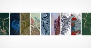
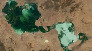
NASA, via its Kennedy Space Center and in partnership with the USGS, has promoted a Landsat-based tool that lets people spell out their name or any word using publicly available Landsat satellite imagery. The images are processed into false-color views that highlight environmental features, showcasing how letters can appear in natural landscapes (e.g., an “A” shape formed by Lake Mjøsa, Norway, and a lowercase “g” near Fonte Boa, Brazil) and noting Landsat’s long history of Earth observation since 1972. The feature, which first surfaced in Camp Landsat in 2024, is available online for users to try, illustrating how imagery can reveal patterns in land use and environment while offering a playful take on satellite data.

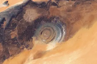
NASA’s Eye of the Sahara, the Richat Structure in Mauritania, is a 40-km-wide circular geologic dome formed by an igneous intrusion and differential erosion, not an impact crater. A Landsat 8/9 mosaic highlights concentric ridges (cuestas) and the orange-gray color differences that reflect diverse rock types, set on the Adrar Plateau amid wind-sculpted dunes and ancient river channels. First described in the 1930s and popularized after early spaceflight imagery, the feature’s striking “bull’s-eye” shape is a striking example of how geological forces shape the landscape.

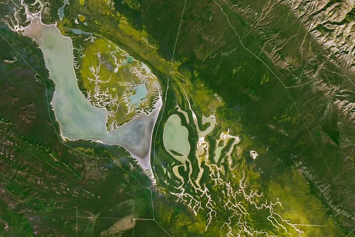
NASA’s Landsat imagery captures a vivid superbloom at Carrizo Plain National Monument along the San Andreas Fault in March 2026, sparked by a wet winter; researchers are combining satellite data with field spectroscopy to develop a global flower-monitoring system that could aid farmers, beekeepers, and land managers.

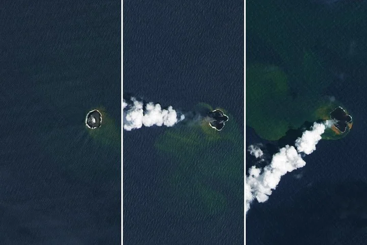
NASA’s Earth Observatory reports that Home Reef, a mid-ocean volcano near Tonga, continued erupting from December 2025 into February 2026, expanding its land area by about 8 hectares as lava flows extended the island; satellite data from Landsat 8/9, MODIS, and VIIRS tracked growth and gas plumes, while authorities say the current activity poses low risk to nearby populations.

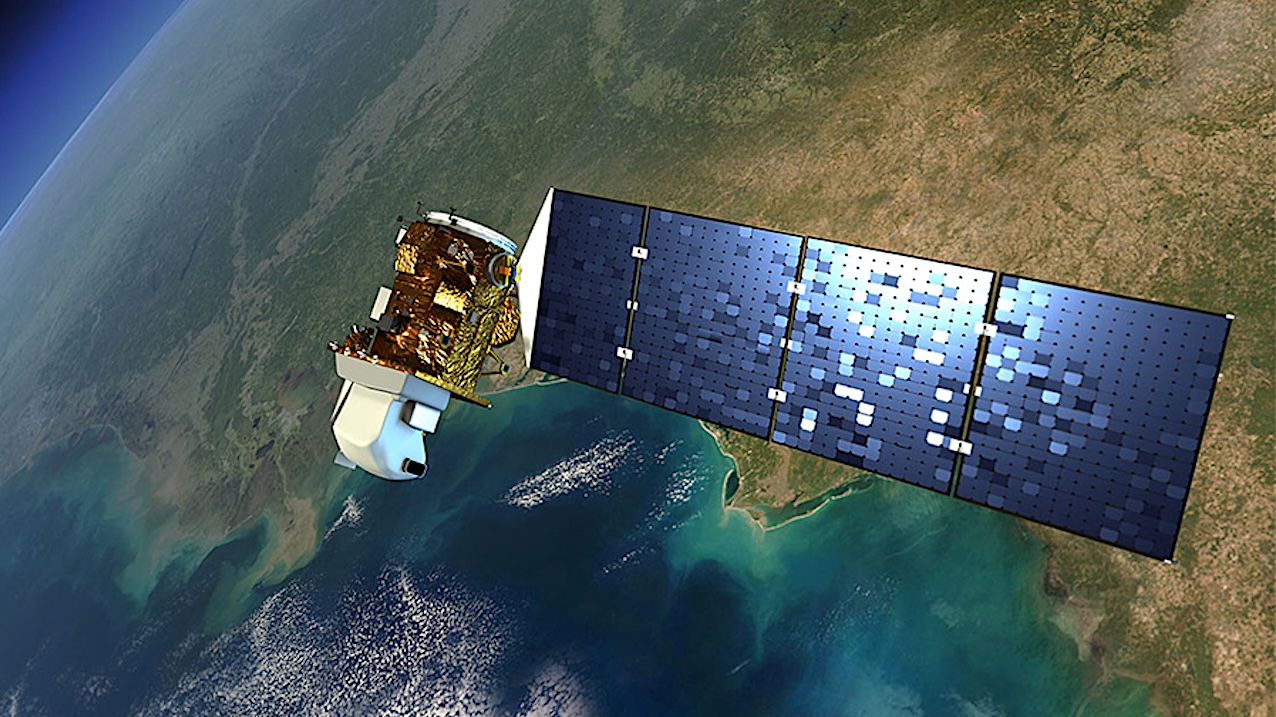
NASA is planning to significantly cut back on Landsat satellite capabilities due to the FY 2026 budget request, which is based on the President's proposal and not yet approved by Congress. This move, which disregards congressional support for Landsat, could lead to a reduction in Earth observation data and push users towards ESA and China, potentially weakening America's space and Earth science leadership.

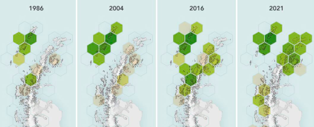
Satellite data over 35 years reveals that Antarctica is becoming significantly greener, with vegetation on the Antarctic Peninsula increasing more than tenfold since 1986. This greening, primarily due to climate change, is driven by mosses and lichens colonizing newly ice-free areas. The study highlights the ecological shifts occurring as ice retreats, raising concerns about biodiversity and the potential introduction of non-native species. Researchers emphasize the need for further fieldwork to understand the evolving plant communities and environmental changes.

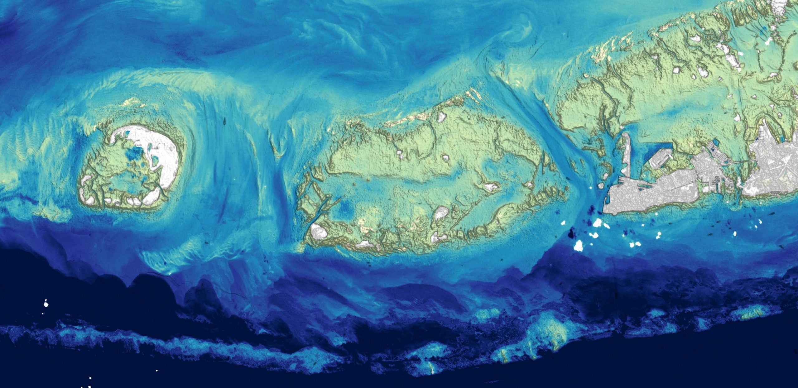
Researchers at the U.S. Geological Survey have developed a new method to map ocean depths in shallow coastal waters using Landsat satellite data. This approach uses a physics-based algorithm to derive bathymetry from visible-light observations, overcoming traditional challenges of sonar and lidar mapping. The method, which can map depths greater than 20 meters in clear water, is particularly useful for tracking coastal changes and studying coral reef health. This satellite-based technique offers a more efficient and practical solution for seafloor mapping, contributing to initiatives like the National Ocean Mapping and Seabed 2030 projects.
Adam’s Inlet in Alaska, once covered by thick ice, has transformed into a geological wonderland due to significant deglaciation over the past 150 years. The retreat of glaciers, driven by warming temperatures, has exposed steep slopes, glacial rivers, and sediment-rich landscapes. Landsat 9 imagery captured the dynamic environment, highlighting features like braided rivers, alluvial fans, and the aftermath of a 2020 landslide. Historical events, such as the 1958 Lituya Bay landslide-induced tsunami, underscore the region's geological activity.

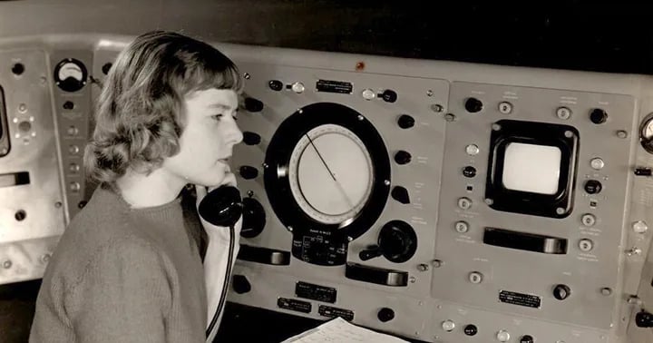
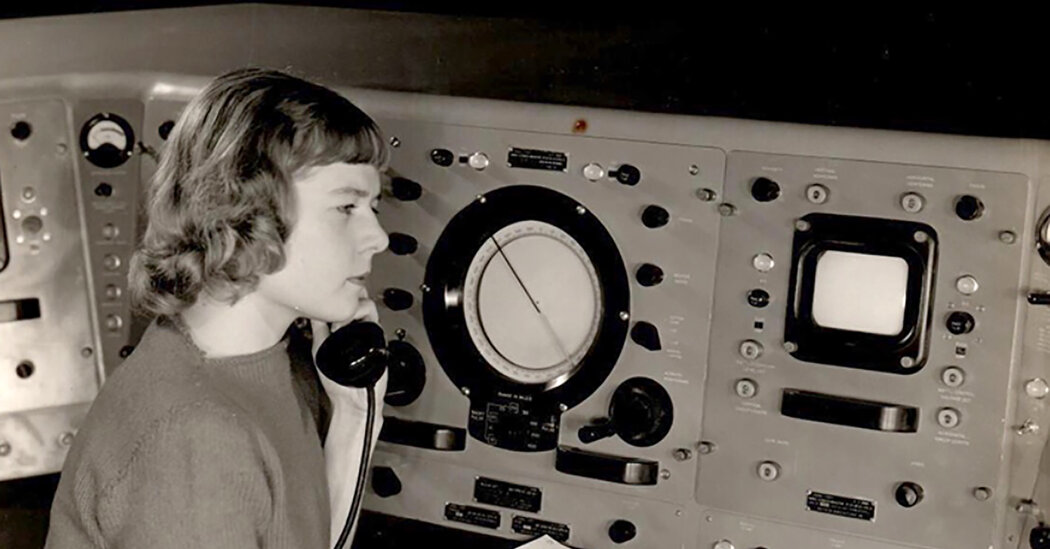
Virginia Norwood, an aerospace pioneer who invented the Landsat satellite program that monitors the Earth’s surface today, passed away at the age of 96. Despite significant pushback from the male-dominated industry before and after her rise, she achieved all this despite significant pushback from the male-dominated industry before and after her rise. Norwood continued to improve the system, leading the development of Landsat 2, 3, 4 and 5. Landsat 8 and 9, the current versions monitoring the effects of climate change today, are still based on her initial concept.

Virginia Norwood, an aerospace pioneer and physicist, has died at the age of 96. She invented the multispectral scanner system (M.S.S.) that made it possible to map and study the earth from space, which has been used for more than 50 years by the United States Geological Survey's Landsat satellite program. The program has provided powerful visual evidence of climate change, deforestation, and other shifts affecting the planet's well-being. Ms. Norwood oversaw the development of Landsat 2, 3, 4, and 5, and her original concept has been the basis for each generation satellite.

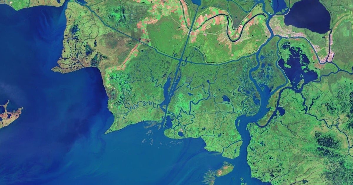
Free and user-friendly programs are now available to enable anyone to create time-lapse animations from satellite images. Open-access data from government satellites such as Landsat and Sentinel, and free cloud-computing resources such as Amazon Web Services, Google Earth Engine, and Microsoft Planetary Computer, have made it possible for just about anyone to gain insight into environmental changes underway. Visualization tools such as Snazzy-EE-TS-GIF, an Earth Engine App for creating Landsat animations, and Planetary Computer Explorer, an explorer for searching and visualizing satellite imagery interactively, are also available.