
New Data Shows Roman Road Network Centered on Constantinople, Not Rome
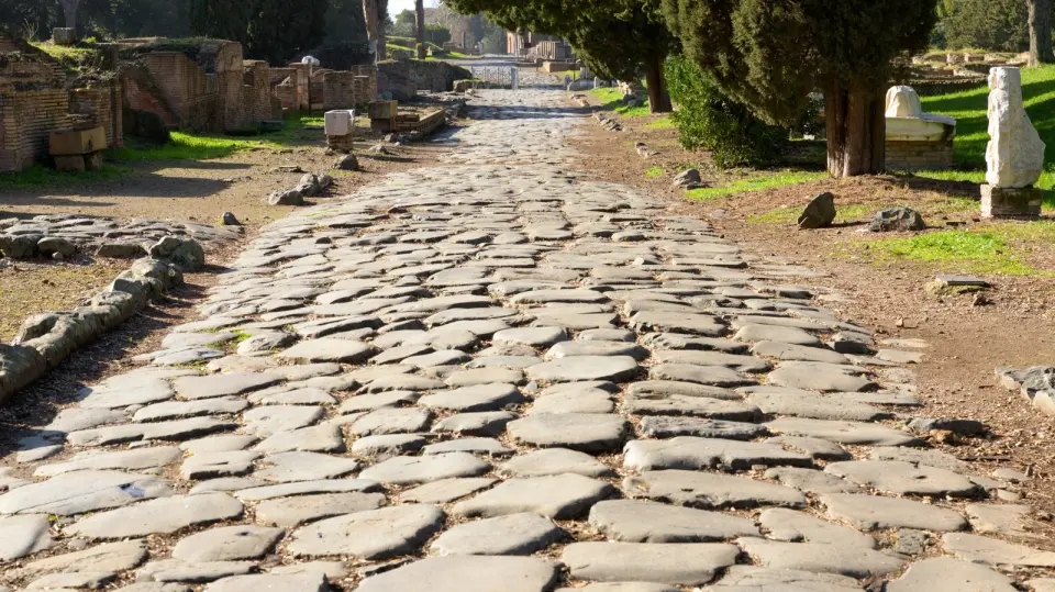
Researchers mapped 190,000 miles of ancient Roman roads, revealing that the network’s true hub was Constantinople, not Rome, and that routes were often curved by terrain rather than strictly straight.
Key points
- A study published in Nature Communications analyzed 186,000 to 190,000 miles of Roman roads using the digital atlas Itiner-e.
- The network’s central node was Constantinople (modern Istanbul), not Rome, due to its geographic position between Europe and Asia.
- Roman roads were straighter in flat areas but curved significantly in mountainous regions, contradicting the myth of uniform straightness.
- Modern European highways often follow ancient Roman routes, showing a lasting impact on contemporary infrastructure.
- The data suggests provincial capitals were more centrally located for terrestrial mobility than the imperial capital.
Background
This follows recent archaeological discoveries in Rome, such as the exposure of Nero-era bridge ruins due to drought, which highlight the ongoing interest in uncovering ancient infrastructure. The new study builds on previous digital mapping efforts to provide a quantitative analysis of the empire's connectivity.
How outlets are covering it
Jalopnik and Smithsonian Magazine emphasize the myth-busting aspect, noting that the 'all roads lead to Rome' proverb is historically inaccurate. CNN highlights the geographic reasons for Constantinople's centrality, citing the Bosporus Strait. The Nature article provides the technical basis, confirming that while roads were straighter than modern ones in some areas, they were still more sinuous than contemporary highways due to terrain constraints. All sources agree that the network facilitated the spread of goods, people, and ideas, but differ in emphasis: news outlets focus on the surprise of the finding, while the academic source details the methodology and topographic variables.
Why it matters
Understanding the true structure of the Roman road network reshapes our view of ancient logistics and connectivity. It demonstrates that infrastructure planning was influenced by geography and local needs, not just imperial ideology. This insight helps historians trace the origins of modern European transportation routes and understand how ancient infrastructure influenced the spread of culture, disease, and trade across continents.
What to watch
Researchers plan to integrate river and sea routes into the model to create a more comprehensive picture of ancient mobility. Further studies may investigate how the road network influenced the spread of epidemics and religious ideas, as well as the economic integration of the empire.
- Ancient Rome Built 190,000 Miles Of Roads And Researchers Just Traced Them All Jalopnik
- Why all roads don’t lead to Rome CNN
- Researchers Have Analyzed the Roman Empire’s 190,000-Mile Network of Roads. Turns Out, Not All of Them Led to Rome Smithsonian Magazine
- Network science reveals the structure and lasting impact of the Roman road system Nature
- Roman roads weren’t so straight after all New Scientist
Want the full story? Read the original reporting
Read on Jalopnik