
New Roman Road Map Reframes How We Understand the Empire's Highways
TL;DR
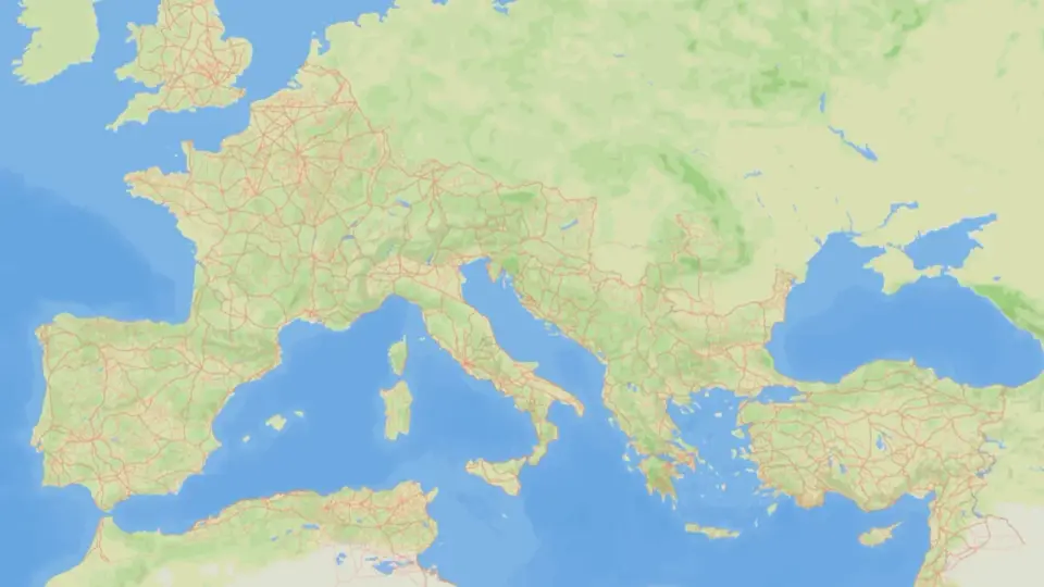
An international team released itiner-e—the largest map of the Roman road network—showing the empire’s highways were far more widespread and multi-directional than popular myths suggest: roads weren’t always straight, Constantinople often mattered more than Rome, and many routes have disappeared or changed over 2,000 years, indicating the road system was far more extensive than previous studies could capture.
- Scientists Studied 185,896 Miles of Roman Roads—and That’s Still the ‘Tip of the Iceberg’ Gizmodo
- Study shows marvels of the Roman Empire's road network Reuters
- Roman roads weren’t so straight after all New Scientist
- Network science reveals the structure and lasting impact of the Roman road system Nature
- Did 'all roads lead to Rome'? New study finds other cities in the empire were better connected. Live Science
Want the full story? Read the original reporting
Read on Gizmodo