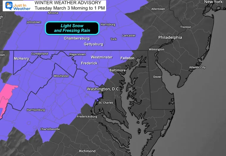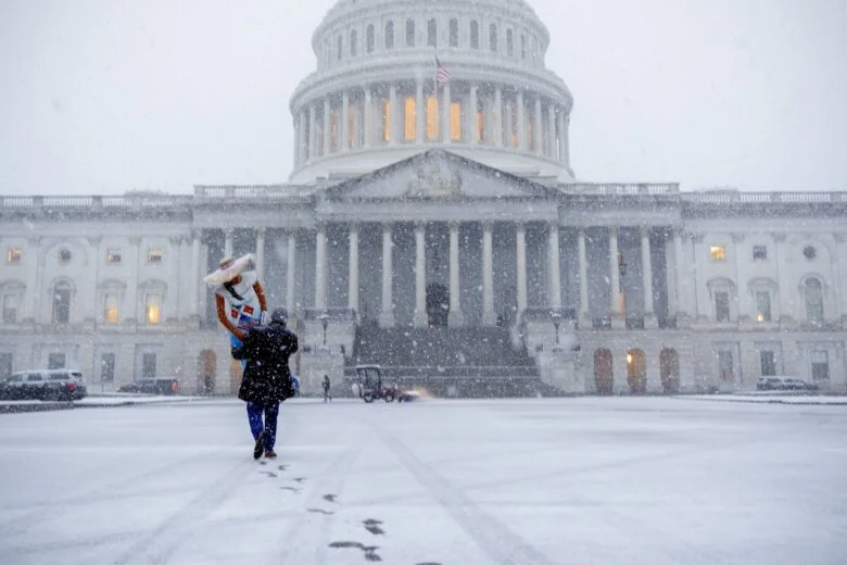
Wintry mix to snow could slick Boston-area commutes Thursday night into Friday
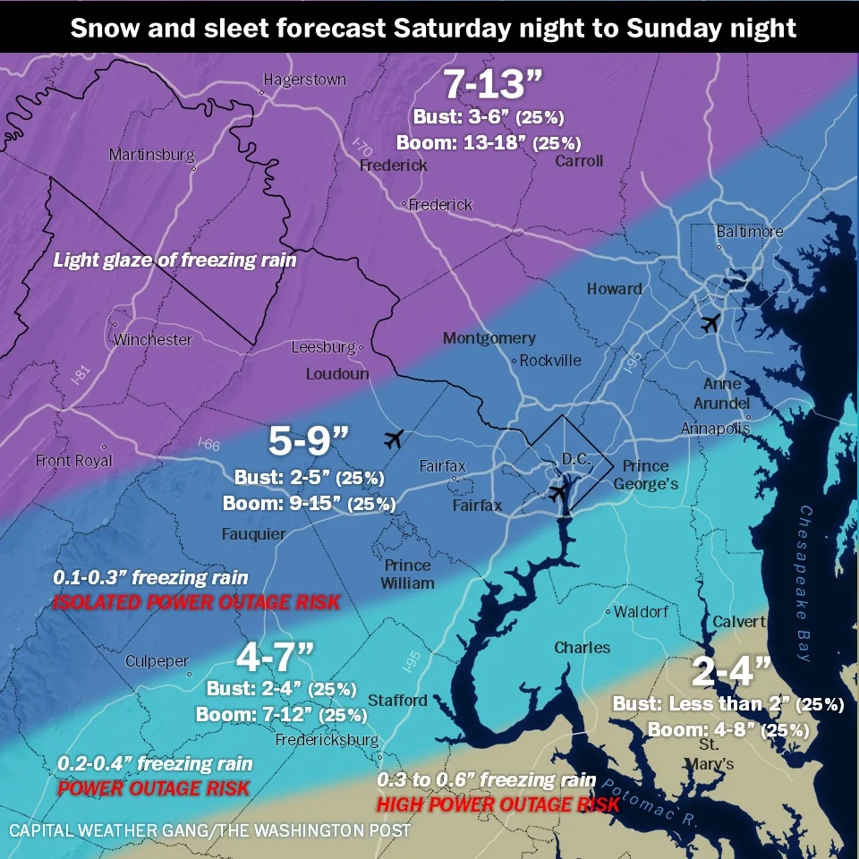
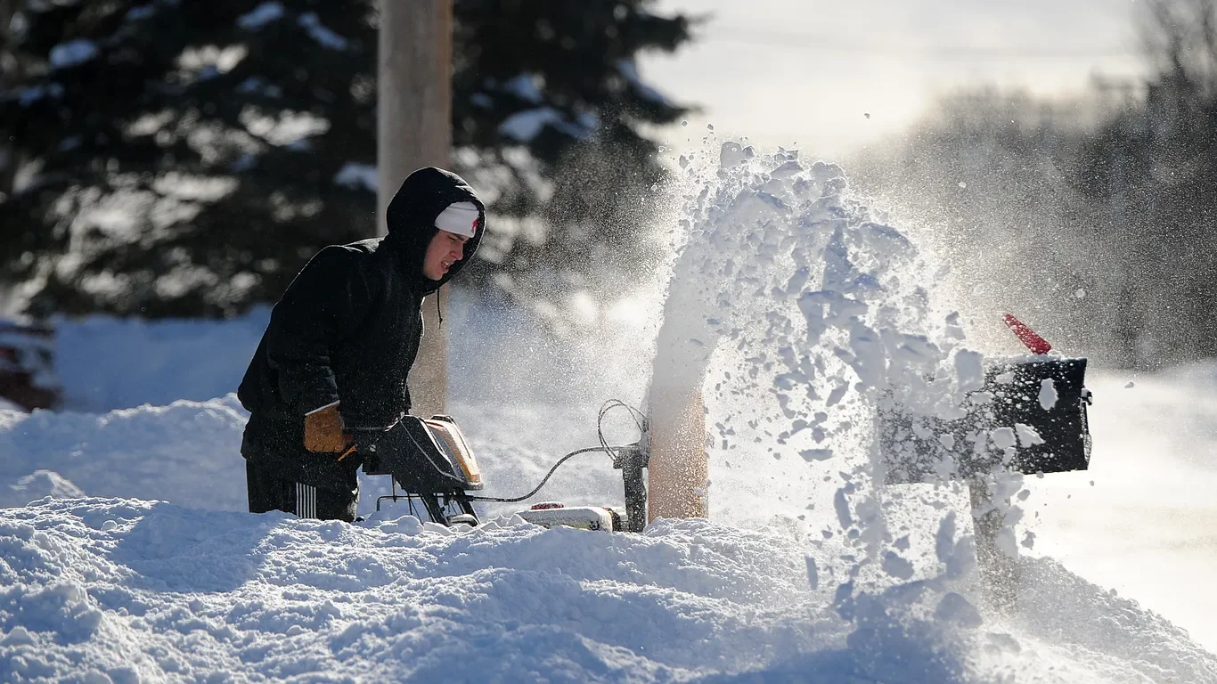
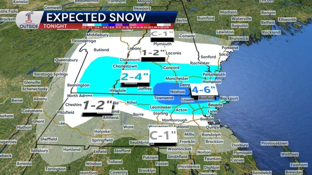
An incoming winter system for Thursday night into Friday will bring rain, then a wintry mix and snow across much of New England. The amount and type depend on how quickly cold air moves in and how heavy the precipitation is, with sleet possible near Worcester/Boston and notable travel impacts in eastern and northern Massachusetts. Snow totals may reach 2–4 inches in southern Vermont/NH and the Merrimack Valley; 1–2 inches in the Boston metro if changeover to snow is late, with less snow further south. Freezing rain could occur where surface temps hover near 32 F, while Southeastern Massachusetts faces 1–1.5 inches of rain on top of existing snow, risking localized flooding. Friday morning commutes look slick, and lingering freezing fog or drizzle could extend slick conditions. After the system, weekend looks calmer and milder with 40s–50s and a possible warm-up into the 60s next week.