Tag

Invest 91l

All articles tagged with #invest 91l

Gulf Tropical Depression Signals Heavy Rain Risk for Florida
weather22 hours ago

Gulf Tropical Depression Signals Heavy Rain Risk for Florida

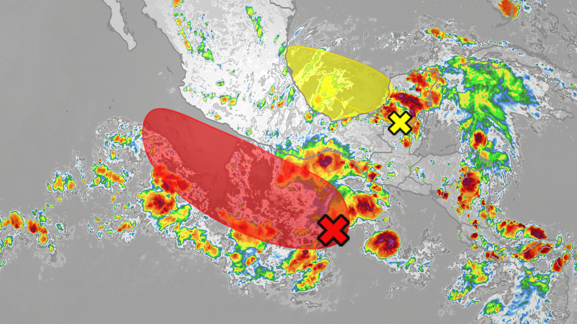
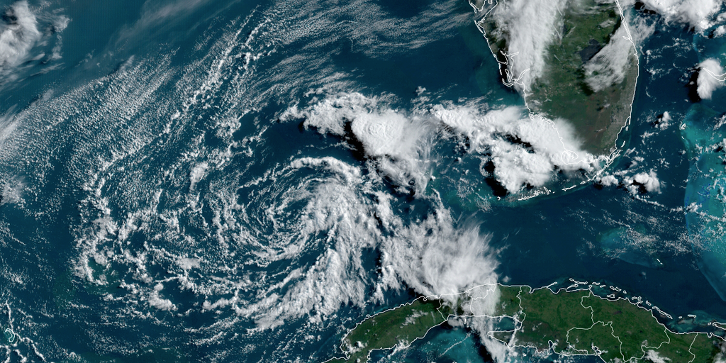
Invest 91L in the Gulf became Tropical Depression Two on July 19, with forecasts suggesting it could strengthen to a tropical storm and a Tropical Storm Watch issued for parts of the Florida Panhandle. The main threat is heavy rain and potential flash flooding along the northern Gulf Coast, with watches possible for Alabama, Mississippi, Louisiana, and Texas. The Air Force Hurricane Hunters will investigate later today, though Saharan dust and wind shear could limit development. Forecasters show an 80% formation chance in the next 48 hours to seven days, and residents should monitor updates as the system evolves.
NHC Boosts 91L Development Odds to 80%, Florida Forecast Focuses on Showers
weather1 day ago

NHC Boosts 91L Development Odds to 80%, Florida Forecast Focuses on Showers

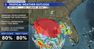
The National Hurricane Center’s 8 AM update raises Invest 91L’s development odds to 80% over the next 2–7 days. Hurricane Hunters will investigate today to check for a defined center and pressure. Regardless of development, the system is expected to move northwest away from Southwest Florida but will bring rounds of scattered showers and thunderstorms today and likely tomorrow, with gusts up to 30 mph along the coast. A Rip Current Statement is in effect for Sarasota, Lee, and Charlotte counties, and WINK News will have the latest on Invest 91L throughout the morning.

Tropical Storm Arlene weakens and brings flood alerts to Florida.
weather3 years ago

Tropical Storm Arlene weakens and brings flood alerts to Florida.

Tropical Storm Arlene weakened into a remnant low over the Gulf of Mexico, with winds dropping below 40 mph. The storm never threatened land and no watches or warnings were issued for the Florida Peninsula. The National Hurricane Center had previously designated the disturbance as Invest 91L and then Tropical Depression Two. Dry air and upper level winds prevented the cyclone from developing further, despite sufficient water temperatures. No additional tropical disturbances are being tracked across the basin.