Bertha Approaches Gulf Coast, Forecasts Heavy Rain for Panhandle and Alabama
Tropical Storm Bertha is moving toward the Florida Panhandle and Alabama, with forecasts calling for heavy rain and potential flooding along the Gulf Coast.
All articles tagged with #florida panhandle

Tropical Storm Bertha is moving toward the Florida Panhandle and Alabama, with forecasts calling for heavy rain and potential flooding along the Gulf Coast.

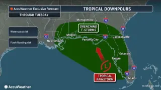
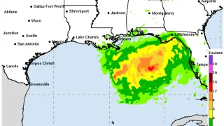
Off Florida, Tropical Depression Two is expected to strengthen into Tropical Storm Bertha later today or tonight, but it is not expected to become a hurricane due to Saharan dust and wind shear. The system could bring heavy rainfall (2-4 inches, up to 6 inches in spots) across Florida’s west coast, Big Bend, and Panhandle, with storm surge and tropical storm watches in effect for parts of the Gulf Coast; an isolated tornado is possible in the Big Bend. Swells will create life-threatening surf and rip currents along the Gulf coast. Forecasters say the system will drift northwest toward the northern Gulf Coast over the next few days, with track uncertainty; residents should monitor updates.

Tropical Depression Two is forecast to strengthen into Tropical Storm Bertha, bringing heavy rain and potential coastal hazards to the Gulf Coast from the Florida Panhandle to Texas. Locally heavy rainfall, coastal flooding, storm surge, rip currents, and a chance of tropical tornadoes are possible, with some areas expected to see up to about 8 inches of rain. The track remains uncertain, but Bertha could approach the Louisiana coast midweek and then move toward Texas, prompting watches and precautionary preparations ahead of the hurricane season.

A tropical depression formed off Florida along the Gulf Coast with a tropical-storm warning in effect for the Florida Panhandle through Monday night. Forecasters say it could become a tropical storm named Bertha, but strong Saharan dust and wind shear likely prevent hurricane formation; residents from Florida, Alabama, Mississippi and Louisiana should monitor the system for potential high winds and heavy rains.

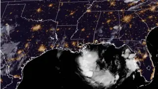
Invest 91L in the Gulf became Tropical Depression Two on July 19, with forecasts suggesting it could strengthen to a tropical storm and a Tropical Storm Watch issued for parts of the Florida Panhandle. The main threat is heavy rain and potential flash flooding along the northern Gulf Coast, with watches possible for Alabama, Mississippi, Louisiana, and Texas. The Air Force Hurricane Hunters will investigate later today, though Saharan dust and wind shear could limit development. Forecasters show an 80% formation chance in the next 48 hours to seven days, and residents should monitor updates as the system evolves.

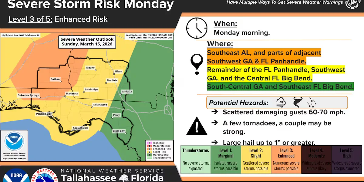
The National Weather Service upgraded Southeast Alabama, parts of southwest Georgia, and the Florida Panhandle to an enhanced risk (level 3/5) for overnight severe storms, with a squall line capable of damaging winds and isolated tornadoes. If any pre-squall supercells form, stronger tornadoes and larger hail could occur. The earliest arrival is around 3 a.m. CT, with the greatest risk from 4–7 a.m. CT.

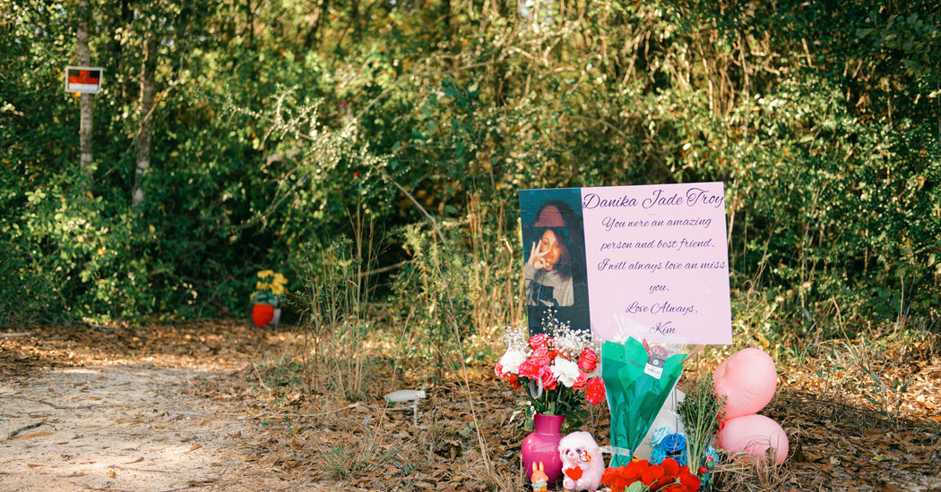
A tragic murder in the Florida Panhandle involving the death of Danika Troy has led to the arrest of two teenagers after a confession, shocking the local community and prompting an investigation into the circumstances surrounding her death.

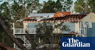
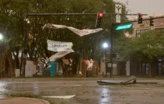
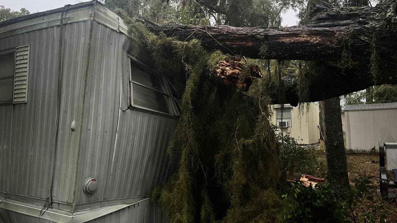
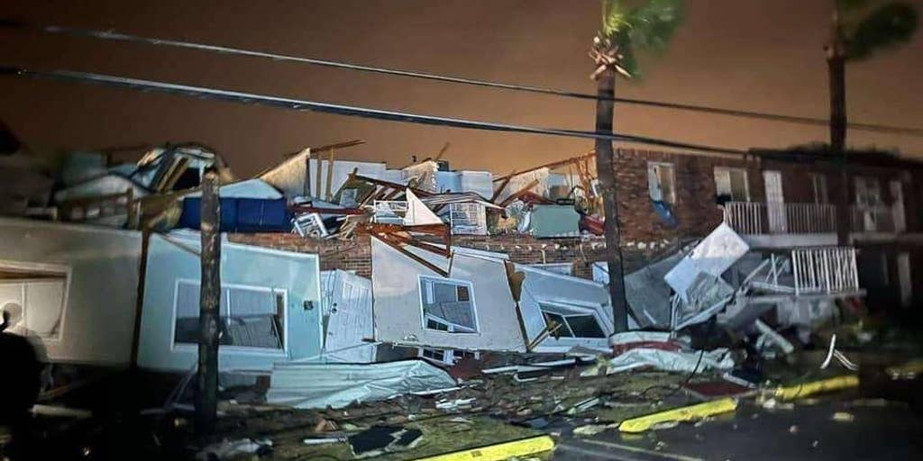
Severe storms swept across Central Florida, causing damaging winds and possible tornadoes. The aftermath includes a tree falling onto a mobile home in Belleview and damage in Panama City, where multiple suspected tornadoes are believed to have touched down. The NWS in Tallahassee will send survey teams to confirm tornadoes and possible tornadic ratings. Over 80,000 are without power in Florida amid the severe weather threat.

Suspected tornadoes caused extensive damage in the Florida Panhandle, including a destroyed marina, leveled condominium building, and flipped boats. Multiple communities were affected, with reports of significant injuries but no deaths as of Tuesday afternoon. Florida officials closed schools and activated the National Guard in response to the severe weather, with ongoing search and rescue efforts and continued weather alerts for high winds and tornadoes in North and Central Florida.