Maize plastoglobules orchestrate nitrogen use via a nitrite-to-glutamine metabolon
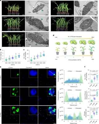
Maize plastoglobules (PGs) in mesophyll chloroplasts act as a subcellular hub for nitrogen assimilation by anchoring two key enzymes, nitrite reductase 2 (ZmNIR2) and glutamine synthetase 1 (ZmGLN1), which form a metabolon that efficiently converts nitrite to glutamine. ZmGLN1 assembles as a decamer and interacts with ZmNIR2, enabling rapid substrate channeling within PGs; nitrogen availability increases PG number and ZmGLN1 decamer formation, linking PG biogenesis to NUE. A splice variant, ZmNIR2T1, localizes to PGs and, when overexpressed, enhances PG abundance, biomass and nitrogen-use efficiency in both seedlings and field trials. Domestication shifts the ZmNIR2T1/T2 balance across maize lines, suggesting a breeding target to improve NUE by tuning subcellular nitrogen organization rather than single-enzyme activity.