With gas prices near a four-year high, Western Washington drivers are cutting Memorial Day trips or choosing shorter getaways as millions nationwide plan to travel this long weekend.
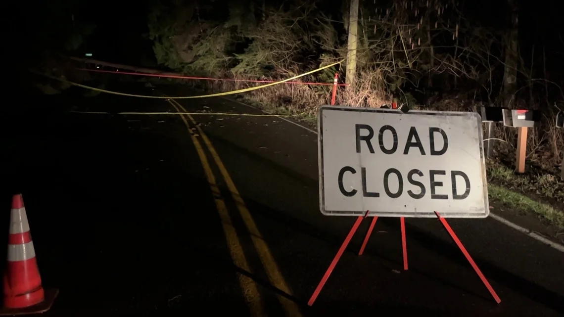
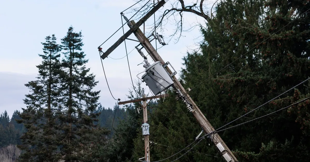
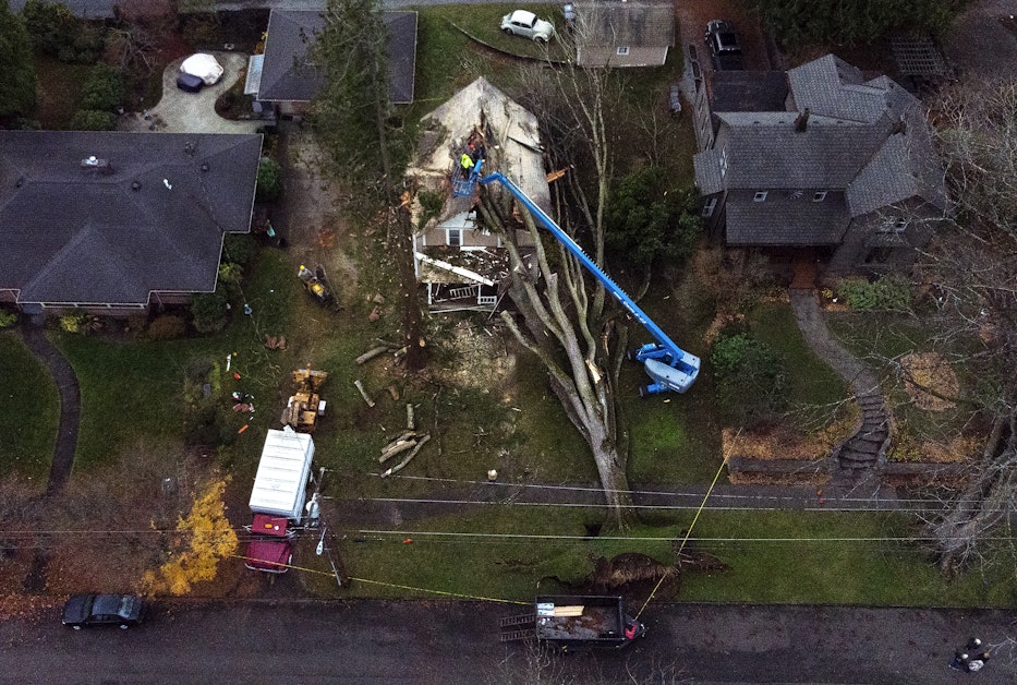
A powerful windstorm across western Washington knocked down trees and power lines, prompting closures on SR 410 and SR 7 and leaving about 40,000 customers without power. A fatality occurred in Monroe when a tree fell on a car, and a camper in Carnation suffered life-threatening injuries after a tree fell nearby. US 2 Stevens Pass was closed for avalanche control, and outages are being reported by Puget Sound Energy, Tanner Electric Cooperative, Snohomish PUD, and Seattle City Light as higher-elevation warning remains in effect.
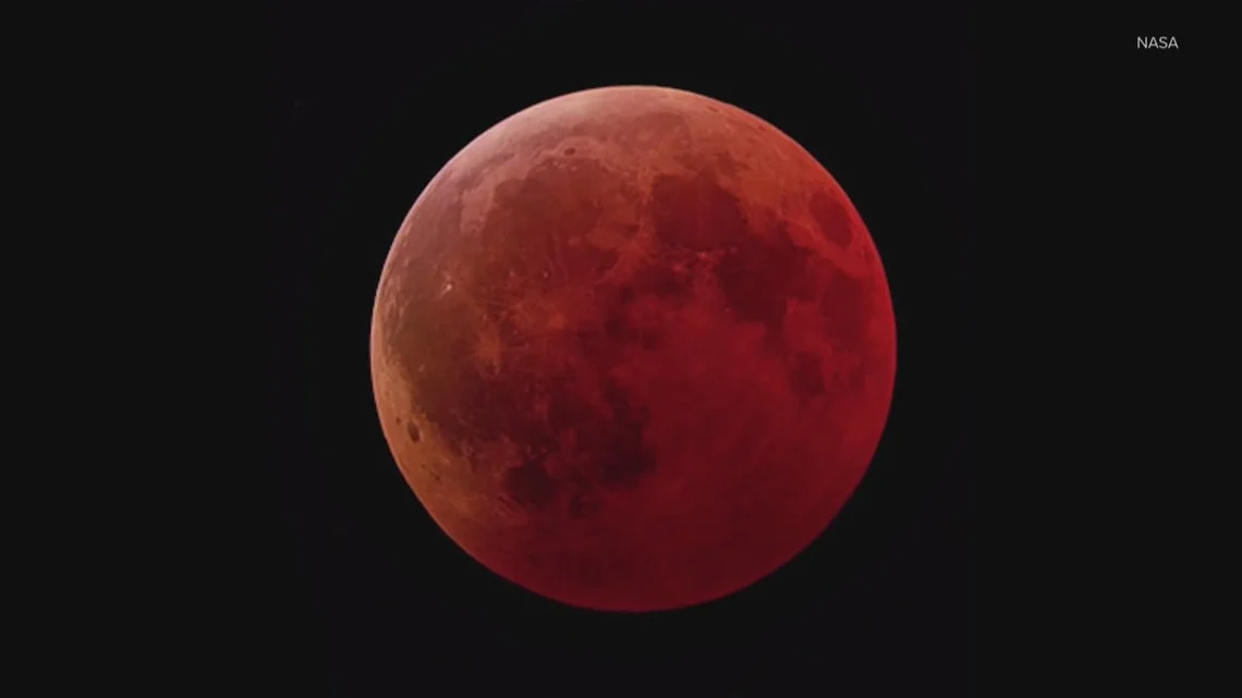
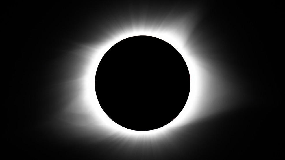
A total lunar eclipse, the Worm Moon, will occur Tuesday morning with the event starting around 1:50 a.m., peaking around 3:04–4:02 a.m. PST and maximum at 3:33 a.m.; western Washington has the best view, but increasing clouds from a front moving in after midnight could hinder visibility.
A series of weather events including an atmospheric river, high winds, and heavy rain are causing flooding, landslides, and power outages in Western Washington. While rivers are receding, upcoming storms will raise some to moderate flood levels, and strong winds may cause additional outages. A shift to cooler, snowy weather is expected mid-week, bringing winter conditions and a potential white Christmas, with mountain snow accumulating and rivers finally receding.
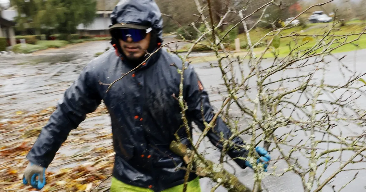
A bomb cyclone that hit Western Washington with winds up to 74 mph has left over 71,000 customers without power four days later, with utilities working to restore service. Puget Sound Energy and other providers are prioritizing repairs, but the extensive damage has delayed restoration efforts. The storm caused significant damage, including downed trees and power lines, and killed two people. While milder weather is expected, some areas, especially remote ones, may remain without power into next week.
Puget Sound Energy has delayed its power restoration estimates for customers affected by a recent bomb cyclone in Western Washington, which left half a million people without electricity. The utility now expects to restore power by noon Saturday, 6 p.m. Sunday, and 10 a.m. Monday, citing extensive damage and slower-than-expected repair progress. As of Friday night, 96,000 customers remain without power.
High winds are expected to hit Western Washington again on Friday, following a recent bomb cyclone that caused significant damage and power outages. The National Weather Service has issued wind warnings, with gusts up to 55 mph expected in some areas. Puget Sound Energy is working to restore power to over 300,000 affected residents, with full restoration anticipated by Saturday. Residents are advised to take safety precautions, especially regarding the use of alternative heating sources.
A 'bomb cyclone' storm has caused significant destruction in western Washington, resulting in at least two fatalities and leaving 474,000 people without power. The storm, which hit on Tuesday night, brought down numerous trees, blocked roads, and led to school closures across the Puget Sound area. Power outages are expected to last for several days, with Seattle City Light reporting the largest number of outages since 2006. The storm is expected to weaken and move out to sea by Thursday, but another storm is anticipated later in the week.
Western Washington is preparing for the upcoming solar eclipse on Monday, despite potential weather challenges. There is a 20% blockage of the sun expected, but overcast conditions may hinder visibility. Residents are eager to witness the event, recalling the memorable 2017 eclipse experience. Safety precautions are emphasized, with experts advising against looking directly at the sun without proper eye protection. The next total solar eclipse in the continental United States is not expected until 2044.
The National Weather Service is warning of a significant storm system hitting Western Washington on Sunday, bringing heavy snowfall to the mountains and gusty winds across the area. Lowlands will experience rainy and windy conditions, with potential for snow at low elevations by Monday. The Cascades are under a Winter Storm Watch for heavy snowfall, making pass travel difficult. The storm will be followed by milder temperatures and light showers later in the week.
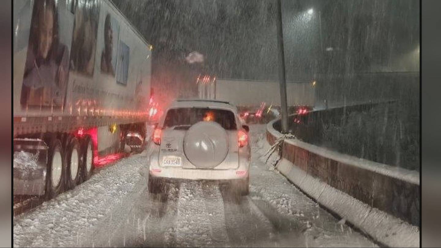
A wintry blast of snow hit Western Washington, causing travel disruptions, power outages, and school delays. Heavy snowfall trapped drivers, with about 50 cars stuck in a ditch near Olympia, and thousands of customers experienced power outages, particularly in Kitsap, Pierce, and Thurston counties. The snowfall also led to fallen trees and power lines in Kitsap County. The region is expected to see more snow and wet snow showers, with Winter Weather Advisories in place for certain areas. Wind advisories are also in effect, with gusts reaching 40 to 50 mph.
Western Washington is expected to experience heavy rain this weekend due to an atmospheric river, with up to three inches of rain in the lowlands and potential for river flooding. Snow levels will rise above 7,000 feet, and there's an increased risk of landslides. Despite the wet weather, temperatures will be mild, with highs in the mid to upper 50s and a chance of reaching 60 degrees. Additionally, the region will see longer daylight hours as the sun sets after 5 p.m. for the first time in 2024.
Frigid temperatures in Western Washington have caused burst pipes, leading to flooding at Sea-Tac Airport, apartments, schools, and a sports bar. Seattle University student housing was flooded with brown water, forcing evacuations, while the Angry Beaver sports bar in Greenwood had to close indefinitely. The Seattle Fire Department responded to approximately 175 burst pipe calls since last Friday. Several schools were closed or delayed due to burst pipes, and experts recommend preventive measures such as covering exposed pipes and keeping taps running on cold days.
Western Washington is experiencing a brutal freeze with record low temperatures and strong winds, resulting in wind chill readings as low as -17°F in some areas. Flurries and light snow showers are expected, with the cold stretch being the coldest in years. The region is bracing for dangerously cold weather and wind chill overnight and into tomorrow, with Seattle's forecasted morning low of 15°F on Saturday being the coldest since 2010.
Forecast models for Western Washington show a wide range of possibilities for snow this week, with light snow seen in the South Sound and potential for wet snow showers in King and Snohomish counties. Thursday may bring some light snow or flurries, with the best chance for consistent snow in the North Sound and North Interior. Friday's forecast remains uncertain, with the potential for major lowland snow, sleet, or freezing rain depending on the track of a low-pressure area. The forecast models are expected to converge on a common solution in the next couple of days, but preparations for winter weather impacts on Friday and Saturday are advised.