
Antarctic Glacier Mapping Reveals Surprising Results.
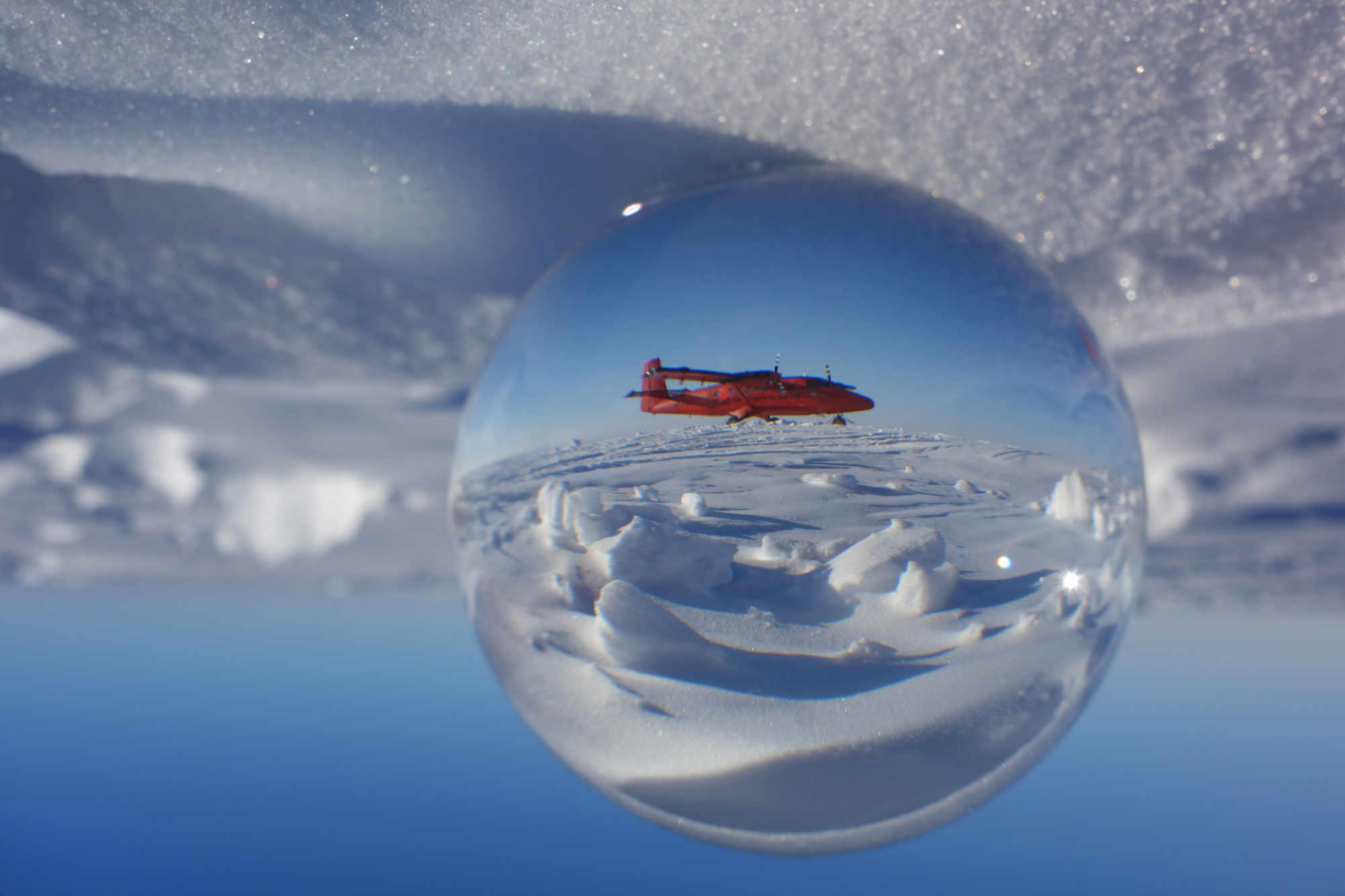
TL;DR Summary
Scientists, including a glaciologist from Swansea University, have mapped the ground beneath Antarctica's Thwaites Glacier for the first time, revealing a scarcity of sedimentary rock that may influence the glacier's movement into the ocean in the coming decades. The glacier is one of the fastest-changing ice-ocean systems in Antarctica and its retreat could raise global sea levels by over half a meter within centuries. The new analysis is based on airborne surveys using radar and sensors that can map minute variations in gravity and magnetism thousands of meters below the ground and seabed on which the glacier rests.
Topics:science#antarctica#climate-change#geology#science-and-environment#sea-level-rise#thwaites-glacier
- Scientists Have Mapped the Ground Beneath Antarctica's Most Vulnerable Glacier for the First Time SciTechDaily
- Doomsday Glacier map to shed light on future sea levels New Atlas
- World has lost battle to stop glaciers melting and sea level rising, UN meteorological chief says Sky News
- Thwaites glacier in Antarctica is not as vulnerable as feared New Scientist
Reading Insights
Total Reads
0
Unique Readers
9
Time Saved
3 min
vs 4 min read
Condensed
86%
702 → 98 words
Want the full story? Read the original article
Read on SciTechDaily