
Utah Scientists Map Hidden Ice Reserves in Mount Timpanogos Rock Glacier
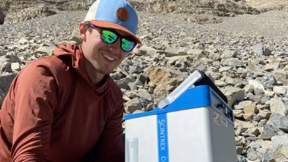
University of Utah researchers have confirmed the presence of a massive, hidden ice body within the Mount Timpanogos rock glacier, containing enough water to fill 600 Olympic swimming pools. Using precise gravitational measurements, the team mapped ice up to 150 feet thick beneath a layer of rock and debris. This discovery suggests that Utah’s mountains may hold approximately one billion tons of ice, a potential resource for the state’s water crisis. While these glaciers provide slow, sustained meltwater for arid regions and support cold-water ecosystems, they also pose flood risks as climate change destabilizes their structure.
Key points
- The Timpanogos Rock Glacier contains approximately 1.5 million cubic meters of ice, equivalent to 600 Olympic swimming pools.
- Researchers used gravitational acceleration measurements to map the ice, finding it averages 61.6 feet thick and reaches 150 feet in depth.
- The ice is buried under rock and debris, insulating it from heat and slowing melt compared to exposed glaciers.
- Utah is estimated to have around 836 rock glaciers, potentially holding one billion tons of ice in total.
- The study was published in the Journal of Geophysical Research: Earth Surface.
Background
Previous coverage in August 2026 highlighted the potential of Utah’s hidden ice reserves to mitigate the state’s water crisis. While the exact contribution of rock glacier melt to urban water supplies remains unquantified, the discovery underscores the importance of these formations in a warming climate. The findings build on earlier estimates that Utah’s rock glaciers could support the basic annual needs of 1.6 million households.
How outlets are covering it
KSL emphasizes the practical implications for Utah’s water supply and the potential hazards of glacier collapse, citing the Nepal flooding as a cautionary example. The Salt Lake Tribune focuses on the scale of the discovery, estimating that Utah’s rock glaciers could hold one billion tons of ice, and highlights the ecological benefits for alpine wildlife. Nautilus details the technical methodology, noting that the team measured gravitational variations at 230 locations and accounted for solar and lunar influences to achieve precision. All sources agree on the significance of the Timpanogos Rock Glacier as a hidden water reservoir, but they differ in their emphasis on hazard, resource potential, and scientific method.
Why it matters
As Utah faces a growing water crisis and climate change accelerates glacial retreat, understanding the volume and stability of hidden ice reserves is critical. These rock glaciers could serve as a long-term water source and support vulnerable ecosystems, but their instability poses flood risks. Accurate mapping of these resources is essential for water management and disaster preparedness in the state.
What to watch
Researchers plan to identify more ice-filled rock glaciers in Utah, particularly in Little Cottonwood Canyon and around Mount Timpanogos. Further studies will aim to quantify the contribution of rock glacier melt to streamflows and groundwater, providing a clearer picture of their role in the state’s water supply. The team also intends to assess the stability of these glaciers in the context of climate change and seismic activity.
- U. researchers find possible water source in Mount Timpanogos rock glacier KSL
- University of Utah scientists develop 3D map of hidden Timpanogos Rock Glacier ABC4 Utah
- Utah’s mountains may be hiding a billion tons of ice The Salt Lake Tribune
- This Hidden Glacier Has Enough Water to Fill 600 Olympic Swimming Pools Nautilus | Science
- Utah ranges may store a billion tons of hidden ice The University of Utah
Want the full story? Read the original reporting
Read on KSL