
Navigating Mars: A Computer's Close Call.
TL;DR
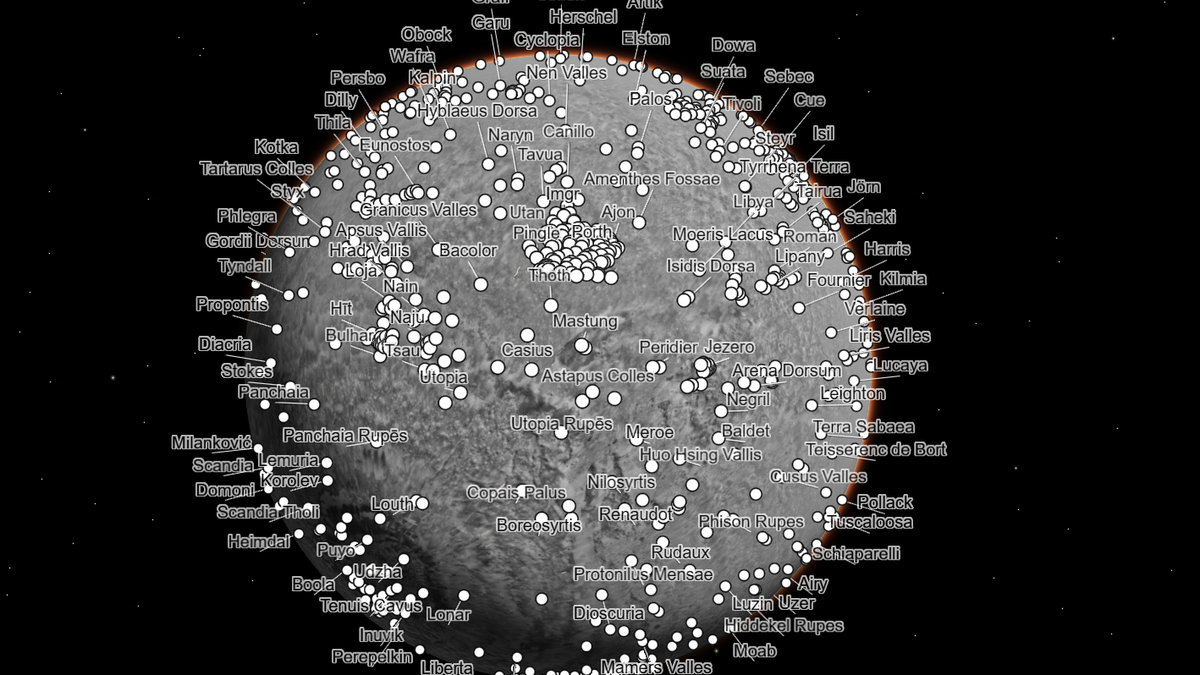
NASA has released an interactive map of Mars made from over 100,000 images taken by the agency’s Mars Reconnaissance Orbiter, offering the highest-resolution global portrait of Mars ever made. The tool, hosted online by Caltech, offers shortcuts to some of the most popular sites on the Red Planet, including its largest mountain, Olympus Mons, and Jezero Crater, the dried-up lakebed where the Perseverance rover mission is underway. Visitors can also bookmark locations, measure distances, and toggle layers like rover paths, a topographical heat map, and impact craters.
Topics:sciencescience-and-technology#interactive-tool#map#mars#mars-reconnaissance-orbiter#nasa#science-and-technology
Want the full story? Read the original reporting
Read on Gizmodo