
Laser mapping reveals hundreds of Amazon geoglyphs built by the Aquiry civilization
TL;DR
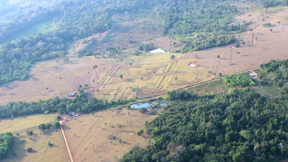
Airborne lidar surveying about 4,500 square kilometers in Brazil’s Acre state uncovered 396 new geoglyphs, shedding light on the Aquiry civilization that built monumental earthworks, longhouses, and ceremonial centers and farmed crops like maize and squash. The findings suggest a large, interconnected society that may have peaked at 1.25–3 million people between AD 100 and 300, with thousands of geoglyphs yet to be found and a probable collapse around AD 850–950.
- Lasers reveal hundreds of geoglyphs made by a mysterious civilization in the Amazon rainforest thousands of years ago Live Science
- Archaeologists Find Hundreds of Ancient Glyphs in the Amazon The New York Times
- Over 20,000 precolonial earthworks in the Southwest Amazonia Nature
- 'Completely Transformed My Understanding': Scientists Uncover Hundreds of Hidden Structures Beneath The Amazon ScienceAlert
- An ancient civilization of millions once flourished in the Amazon Phys.org
Want the full story? Read the original reporting
Read on Live Science